
MacKintosh Beach Family Walk Near Waipara, North Canterbury
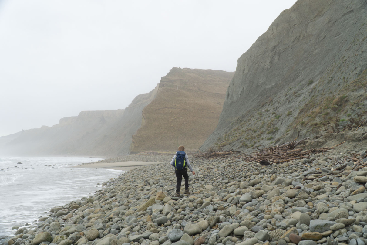
I’ve been trying to explore a few of the more out-of-the-way areas in my local area of North Canterbury recently. Living in Rangiora, we have ample access to beaches such as Leithfield, Waikuku, Woodend, and more, but it’s nice to leave the crowds behind and find areas that are a little more wild to explore with young children.
Having visited Amberley a few times, I’d noticed two beaches on the map that looked like they had some interesting features that my kids would love to discover. One of those, Teviotdale Beach, looked fun but only easily accessible by 4WD.
For the other, MacKintosh Beach, I was happy to find that there’s a nice, short walk that is accessible yet remote enough that it wouldn’t draw the crowds.
While it’s short and doesn’t feel like worth the driving time, the drive is quite varied and the beach offers enough interest to make it worth spending time on.
- 2.35 km out-and-back
- 50 minutes of walking
- 60% muddy farming fields, 30% 4WD track, 10% grassy slopes
What makes MacKintosh Beach worth a visit?
MacKintosh Beach is just 20-30 minutes’ walk from the parking spot, and it’s an easy, flat walk until you get to the last 200 metres, where a vehicle track takes you down to the beach itself.
This makes the beach easily accessible for those with young children. You could even take a pram (one that’s a little more ‘off-road’) most of the way, just parking it above the final 50 metres down to the beach. Having said that, it can be quite muddy and slippery, and you may be walking through a field of cows, so keep that in mind. The last 50 metres in particular is a little precarious when wet. Great for kids, tricky for the elderly. Also bear in mind that you’ll need to come back up the steep 4WD track for 200 metres before returning to the flat.
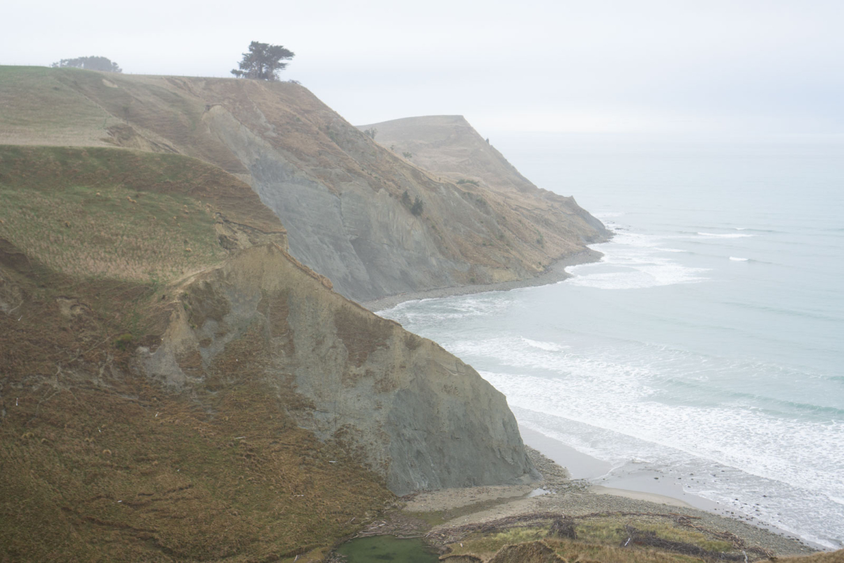
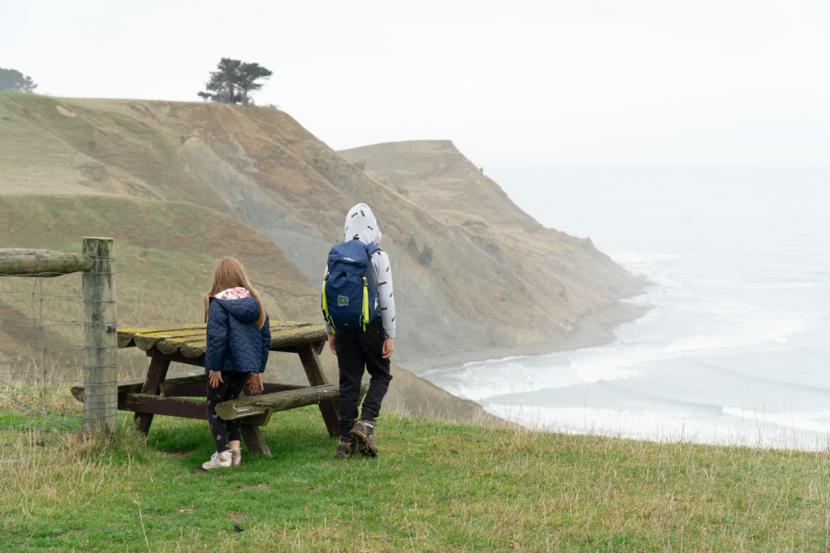
The approach to the beach has great views of cliffs and ocean, and there’s a picnic bench at the top just before the final walk down.
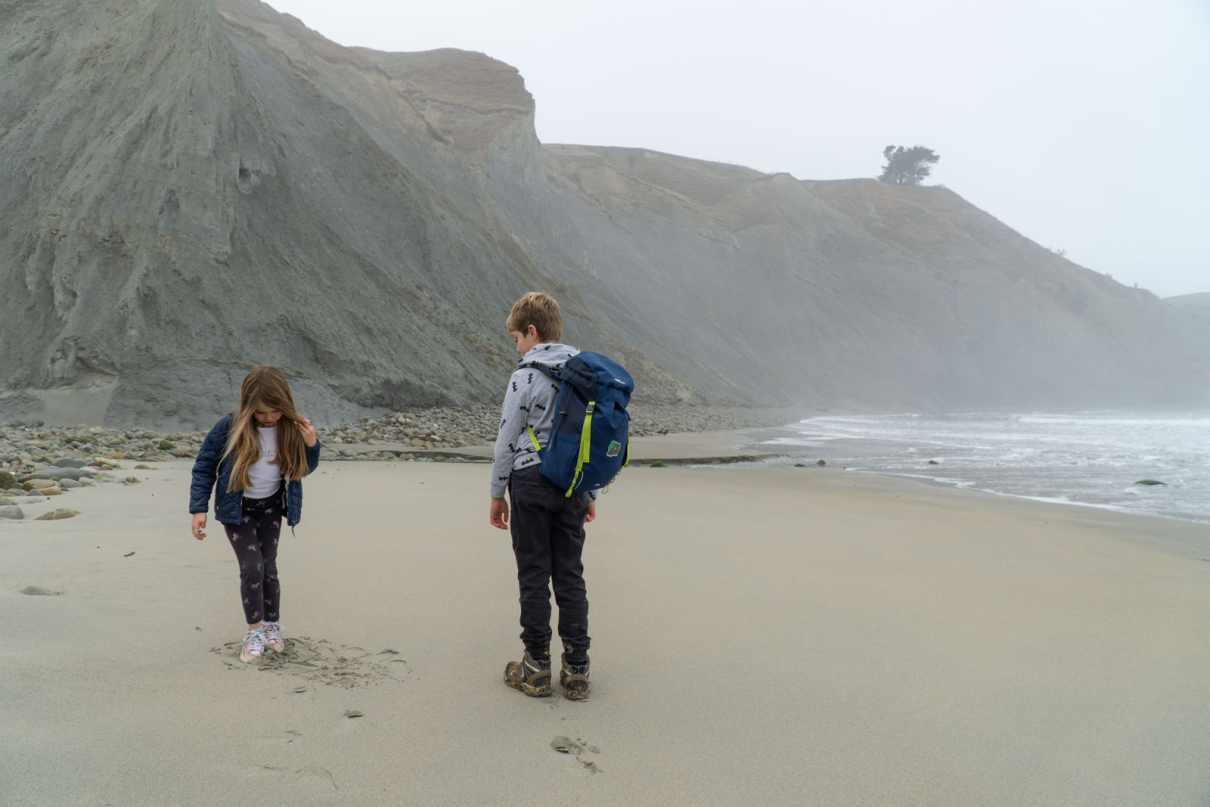
The beach itself has a lot to explore for inquisitive children. There’s a shallow stream feeding into the ocean, a flat sandy area, and then lots of rocks for fossil hunting. You can also walk further along for a view around the cliffs, but a couple of expired sheep that had fallen from the clifftops made us hesitate and turn around.
How do you get there?
MacKintosh Beach (Google Maps link) is east of Waipara and Teviotdale, an hour’s drive from the centre of Christchurch, or 45 minutes from Rangiora.
Heading north from Christchurch on Sate Highway 1, instead of taking the left to Hanmer Springs, take the right past Mt Cass. The start of the walk is on Glenafric Farm at the very end of Mt Cass Road.
After you’ve left the State Highway, be prepared for winding roads and muddy-gravel sections that can be quite slippery when wet. On the way you’ll pass the start of the Mt Cass walk and then the start of the Tiromoana Bush walk.
You can also find the route on AllTrails.
Anything else worth knowing?
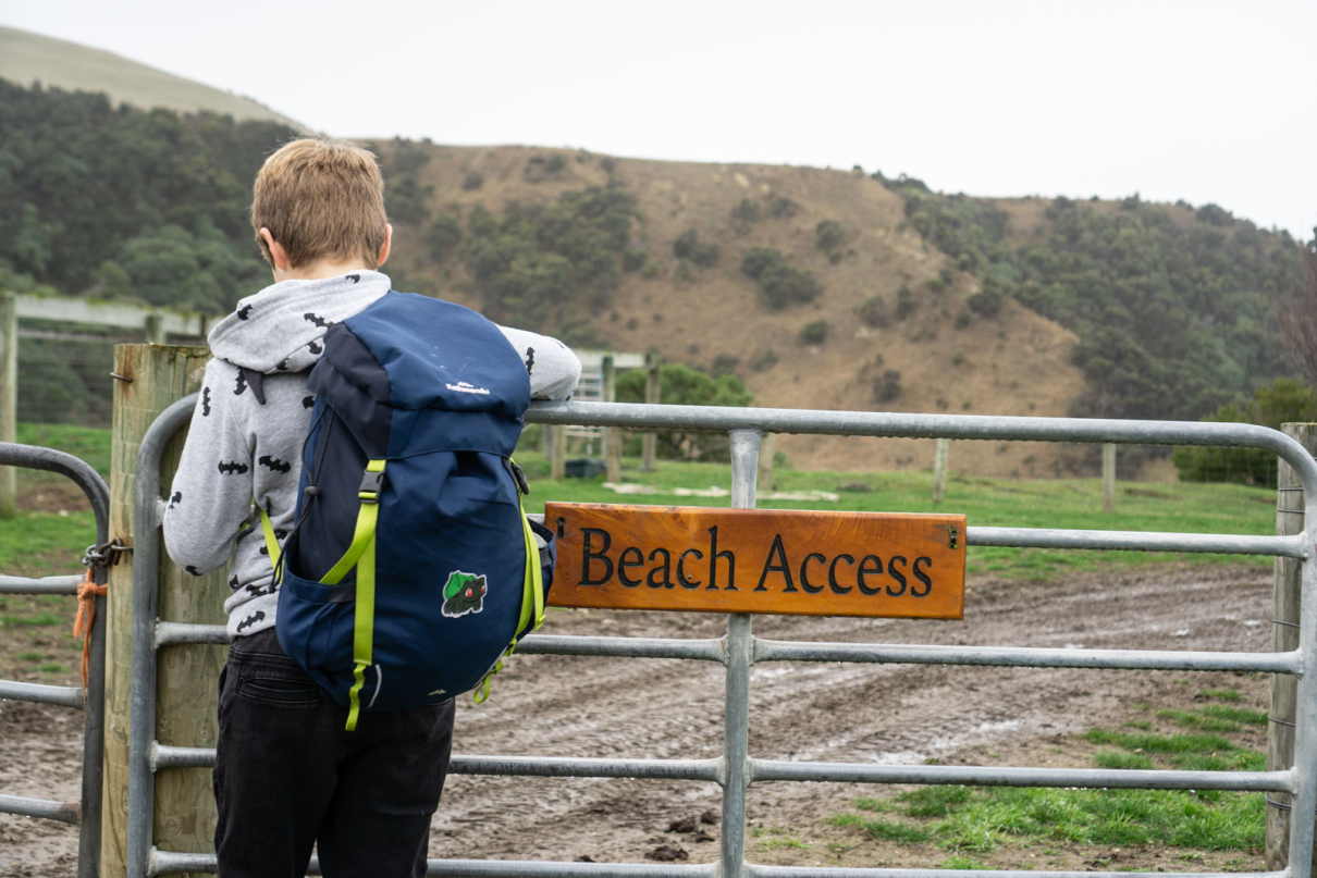
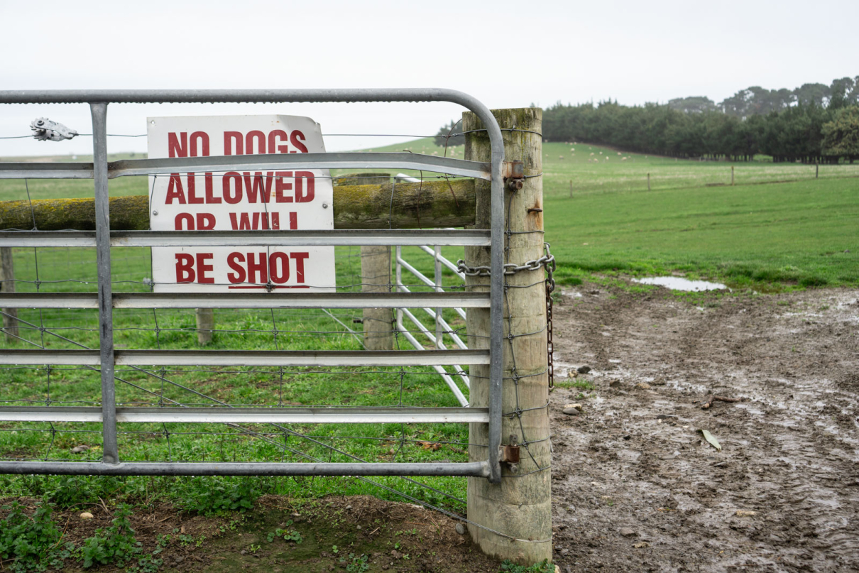
No dogs! Access is through the private property of Glenafric farm, and dogs are very much allowed. It’s a shame that the farm owner has felt it necessary to put up a sign saying dogs are not just forbidden but will be shot on sight. A little much, but I guess people were ignoring the standard ‘no dogs’ sign.
The start of the walk is through a metal gate that has a few other signs alongside it, just after a bend in the road by a house. There are areas by the side of the road here where you can park, just be respectful of the farmers’ property and ensure you’re in no way blocking access, particularly for large tractors and trailers.
As always in the countryside, leave gates as you find them.
More hiking articles
View similar articles below, or more articles related to hiking trails and gear reviews.
 https://nzraw.co.nz/wp-content/uploads/2023/06/picture-takashima-jacket-review-new-zealand.jpg
908
1210
Mark
https://nzraw.co.nz/wp-content/uploads/2020/06/nz-raw-logo.png
Mark2023-06-30 08:57:142023-06-30 08:57:14Review of the Picture Takashima Jacket
https://nzraw.co.nz/wp-content/uploads/2023/06/picture-takashima-jacket-review-new-zealand.jpg
908
1210
Mark
https://nzraw.co.nz/wp-content/uploads/2020/06/nz-raw-logo.png
Mark2023-06-30 08:57:142023-06-30 08:57:14Review of the Picture Takashima Jacket https://nzraw.co.nz/wp-content/uploads/2023/01/waterfalls-nz-800x600-1.jpg
600
800
Mark
https://nzraw.co.nz/wp-content/uploads/2020/06/nz-raw-logo.png
Mark2023-01-06 16:46:302023-01-11 13:30:04Best Family Friendly Waterfalls of Mid-South Island New Zealand
https://nzraw.co.nz/wp-content/uploads/2023/01/waterfalls-nz-800x600-1.jpg
600
800
Mark
https://nzraw.co.nz/wp-content/uploads/2020/06/nz-raw-logo.png
Mark2023-01-06 16:46:302023-01-11 13:30:04Best Family Friendly Waterfalls of Mid-South Island New Zealand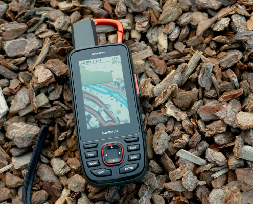 https://nzraw.co.nz/wp-content/uploads/2022/04/garmin-66i-gps-showing-map.jpg
806
1210
Mark
https://nzraw.co.nz/wp-content/uploads/2020/06/nz-raw-logo.png
Mark2022-04-23 16:15:202023-06-28 13:41:39Why I chose a Garmin 66i inReach GPS device
https://nzraw.co.nz/wp-content/uploads/2022/04/garmin-66i-gps-showing-map.jpg
806
1210
Mark
https://nzraw.co.nz/wp-content/uploads/2020/06/nz-raw-logo.png
Mark2022-04-23 16:15:202023-06-28 13:41:39Why I chose a Garmin 66i inReach GPS device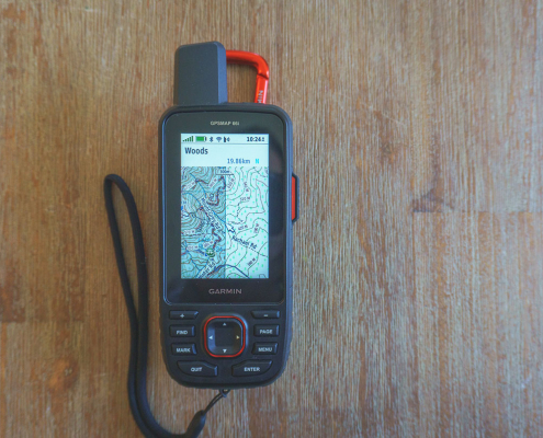 https://nzraw.co.nz/wp-content/uploads/2022/04/garmin-66i-showing-new-zealand-topo-50-maps-1.jpg
806
1210
Mark
https://nzraw.co.nz/wp-content/uploads/2020/06/nz-raw-logo.png
Mark2022-04-09 12:12:282022-04-23 16:08:42How to add NZ topo maps to a Garmin GPS device (for free)
https://nzraw.co.nz/wp-content/uploads/2022/04/garmin-66i-showing-new-zealand-topo-50-maps-1.jpg
806
1210
Mark
https://nzraw.co.nz/wp-content/uploads/2020/06/nz-raw-logo.png
Mark2022-04-09 12:12:282022-04-23 16:08:42How to add NZ topo maps to a Garmin GPS device (for free)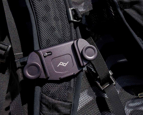 https://nzraw.co.nz/wp-content/uploads/2022/01/review-peak-design-capture-clip-v3.jpg
908
1210
Mark
https://nzraw.co.nz/wp-content/uploads/2020/06/nz-raw-logo.png
Mark2022-01-08 16:08:332022-04-09 08:37:28Peak Design Capture Clip v3 Review
https://nzraw.co.nz/wp-content/uploads/2022/01/review-peak-design-capture-clip-v3.jpg
908
1210
Mark
https://nzraw.co.nz/wp-content/uploads/2020/06/nz-raw-logo.png
Mark2022-01-08 16:08:332022-04-09 08:37:28Peak Design Capture Clip v3 Review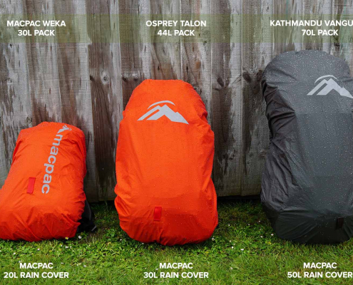 https://nzraw.co.nz/wp-content/uploads/2021/11/macpac-rain-covers-on-packs.jpg
1067
1600
Mark
https://nzraw.co.nz/wp-content/uploads/2020/06/nz-raw-logo.png
Mark2021-11-13 18:07:322022-04-09 08:37:40Macpac Waterproof Pack Cover Sizing
https://nzraw.co.nz/wp-content/uploads/2021/11/macpac-rain-covers-on-packs.jpg
1067
1600
Mark
https://nzraw.co.nz/wp-content/uploads/2020/06/nz-raw-logo.png
Mark2021-11-13 18:07:322022-04-09 08:37:40Macpac Waterproof Pack Cover Sizing https://nzraw.co.nz/wp-content/uploads/2021/10/app-for-identifying-peaks.jpg
908
1210
Mark
https://nzraw.co.nz/wp-content/uploads/2020/06/nz-raw-logo.png
Mark2021-10-24 09:24:542022-04-09 08:37:53Identify Peaks with the PeakFinder App
https://nzraw.co.nz/wp-content/uploads/2021/10/app-for-identifying-peaks.jpg
908
1210
Mark
https://nzraw.co.nz/wp-content/uploads/2020/06/nz-raw-logo.png
Mark2021-10-24 09:24:542022-04-09 08:37:53Identify Peaks with the PeakFinder App https://nzraw.co.nz/wp-content/uploads/2021/07/mt-thomas-walk-canterbury-08.jpg
900
1600
Mark
https://nzraw.co.nz/wp-content/uploads/2020/06/nz-raw-logo.png
Mark2021-07-18 12:47:582021-07-18 12:50:53Mount Thomas Walk in North Canterbury
https://nzraw.co.nz/wp-content/uploads/2021/07/mt-thomas-walk-canterbury-08.jpg
900
1600
Mark
https://nzraw.co.nz/wp-content/uploads/2020/06/nz-raw-logo.png
Mark2021-07-18 12:47:582021-07-18 12:50:53Mount Thomas Walk in North Canterbury https://nzraw.co.nz/wp-content/uploads/2021/06/stanley-shortstack-adventure-travel-mug-and-box.jpg
908
1210
Mark
https://nzraw.co.nz/wp-content/uploads/2020/06/nz-raw-logo.png
Mark2021-06-27 17:36:282022-04-09 08:38:03Review of the Stanley Adventure Shortstack Travel Mug 8oz
https://nzraw.co.nz/wp-content/uploads/2021/06/stanley-shortstack-adventure-travel-mug-and-box.jpg
908
1210
Mark
https://nzraw.co.nz/wp-content/uploads/2020/06/nz-raw-logo.png
Mark2021-06-27 17:36:282022-04-09 08:38:03Review of the Stanley Adventure Shortstack Travel Mug 8oz
Leave a Reply
Want to join the discussion?Feel free to contribute!