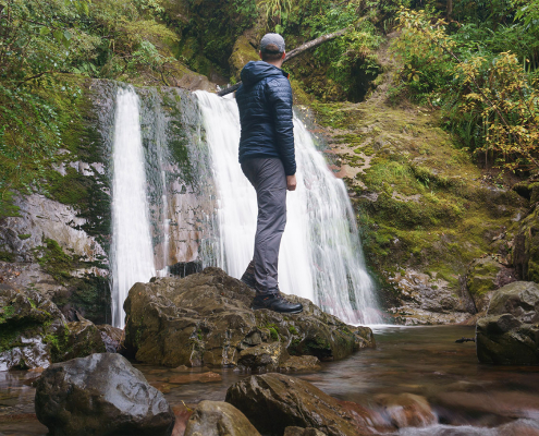
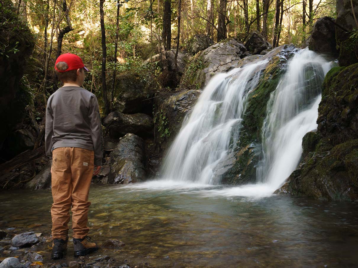
Family at a waterfall in New Zealand's South Island

Best Family Friendly Waterfalls of Mid-South Island New Zealand

In October my family and I travelled from Christchurch to Hanmer Springs and then across to the West Coast through Lewis Pass before returning via Arthur’s Pass. I found myself visiting a fair few waterfalls of Canterbury and the West Coast, many just a short walk from the road, so I thought I’d list some of the best ‘family friendly’ waterfalls of the mid-South Island of New Zealand here.

There are plenty more that are worthy of a mention, but these are just a few that are on popular tracks, within 30 minutes to three hours from the road, and easily accessible for families with young children.

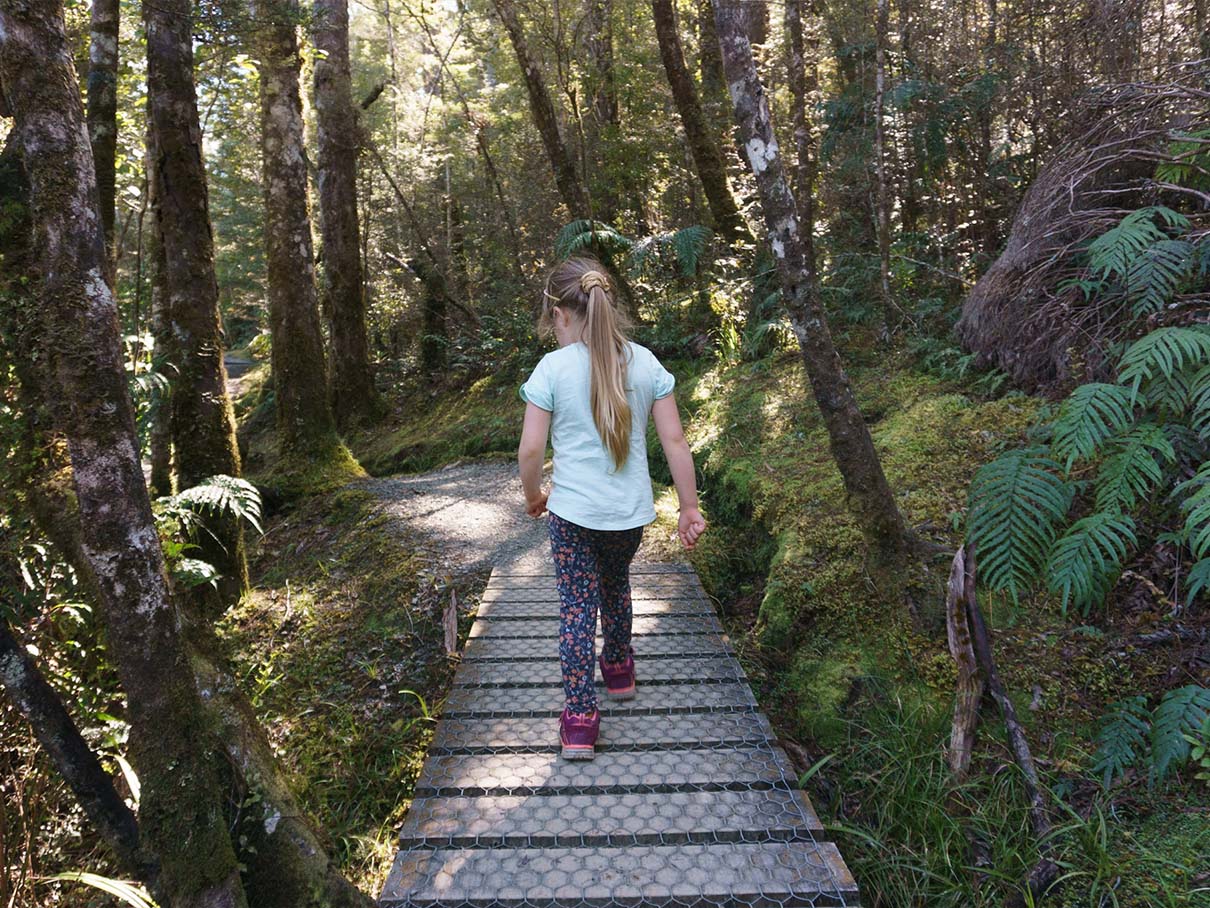
For each waterfall, I’ve provided some information about access as well as extra photos to show some of the walk itself.

Mid-to-North Canterbury Waterfalls

Mid-West Coast Waterfalls

Central South Island Waterfalls

Washpen Falls Walk, Selwyn District, Canterbury

Waterfall at Washpen Falls Walk
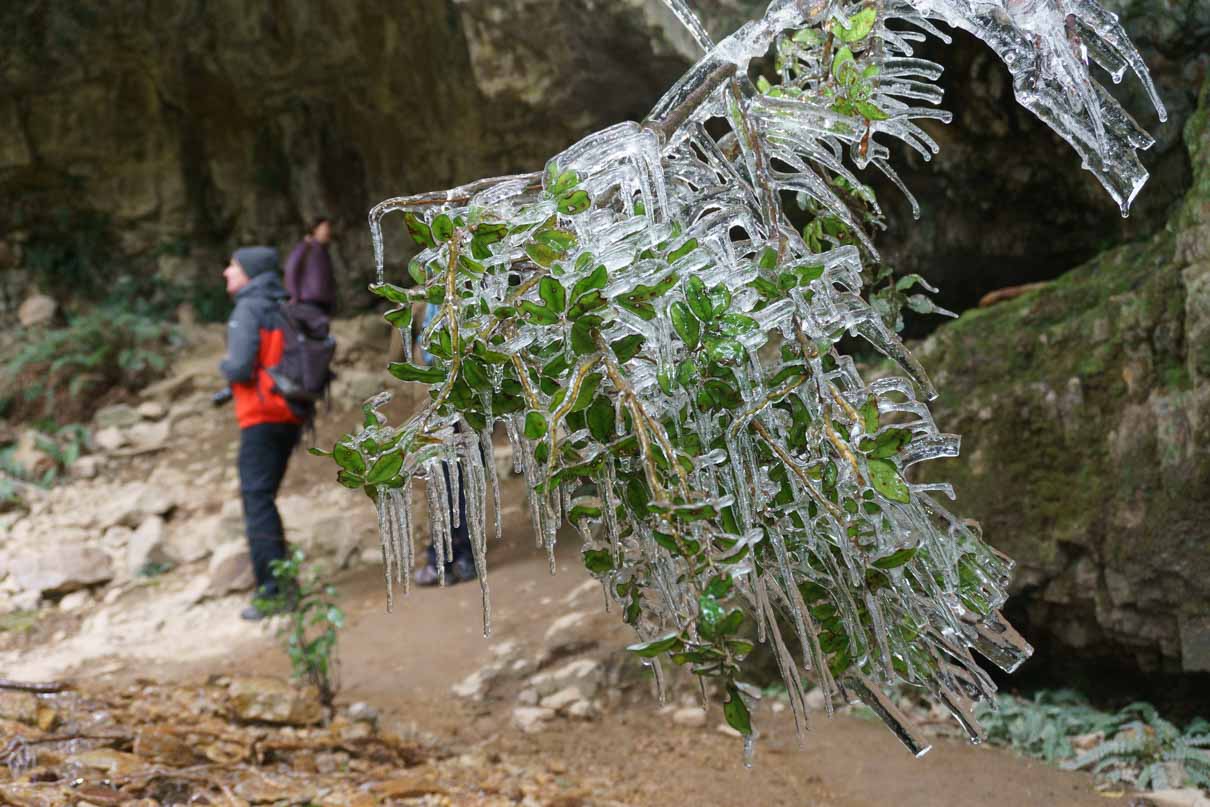
Icicles at the caves on the Washpen Falls walk

Icicles at the caves on the Washpen Falls walk

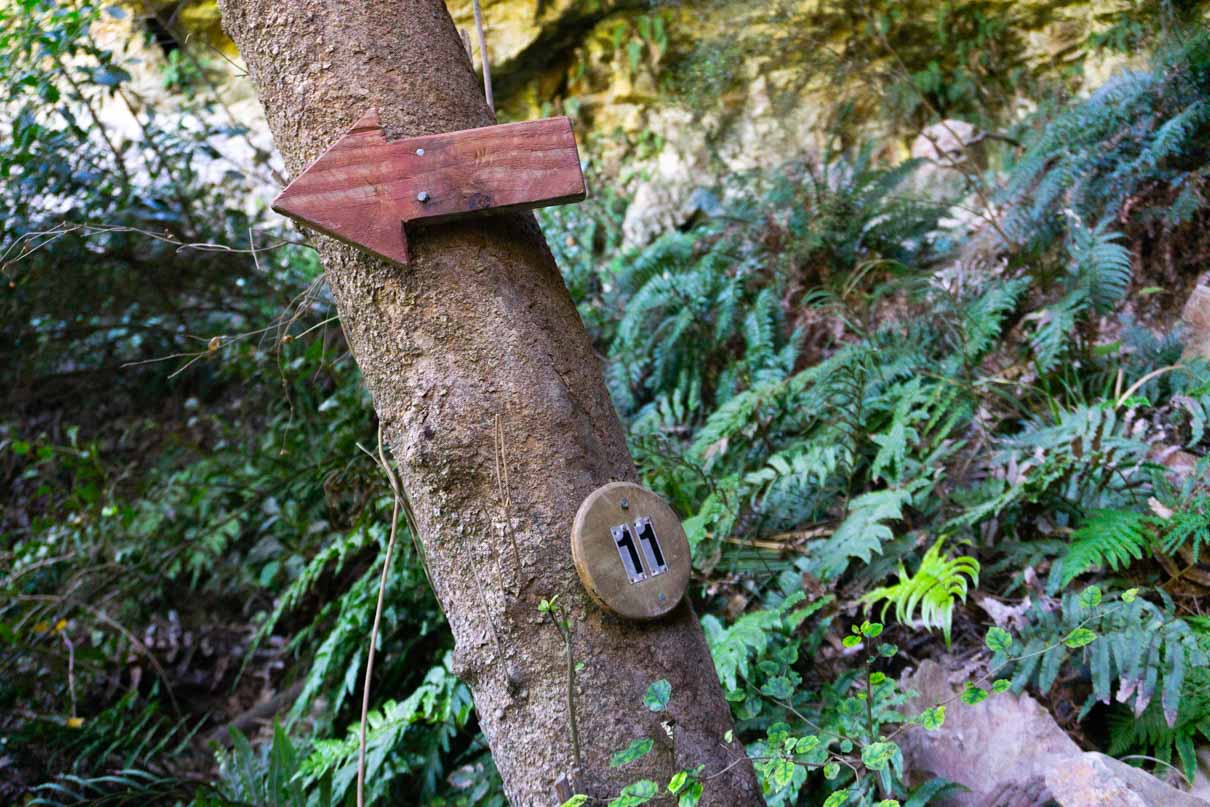
An arrow and point of interest sign on the Washpen Falls walk

Pick up a free guide at the beginning to view points of interest on the walk

Washpen Falls Information

The only waterfall here on privately access land, Washpen Falls requires a cash payment at the beginning but the falls, and the walk itself, is very much worth the trip.

Awesome for young families, a map and info guide takes you through forest and the valley to see historic caves before the waterfall itself, followed by a wooden shelter with picnic tables and seating beside a large pond (or small lake?) that even homes a rowing boat that you’re free to use.

  • 3.5 km, 2 hour loop track (website says allow two hours)
  • Multiple points-of-interest and an excellent under-cover picnic spot. Proper toilets at the car park. Cash payment for entry to the walk ($10 per adult and $5 per child at time of writing)
  • Washpen Falls website
  • Near Windwhistle, north of Methven, west of Darfield, Google Maps
  • Alltrails

Dog Stream Falls, Hanmer Springs, Canterbury

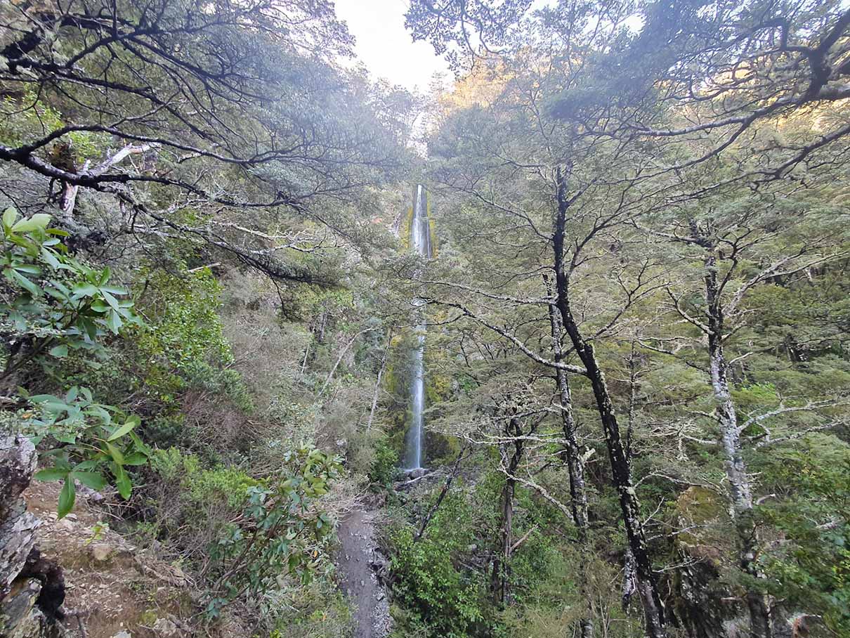
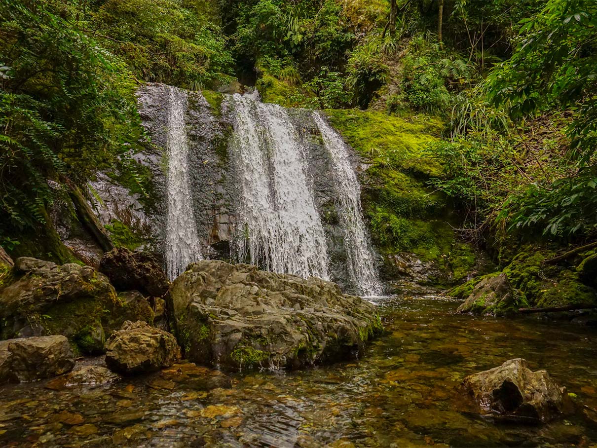
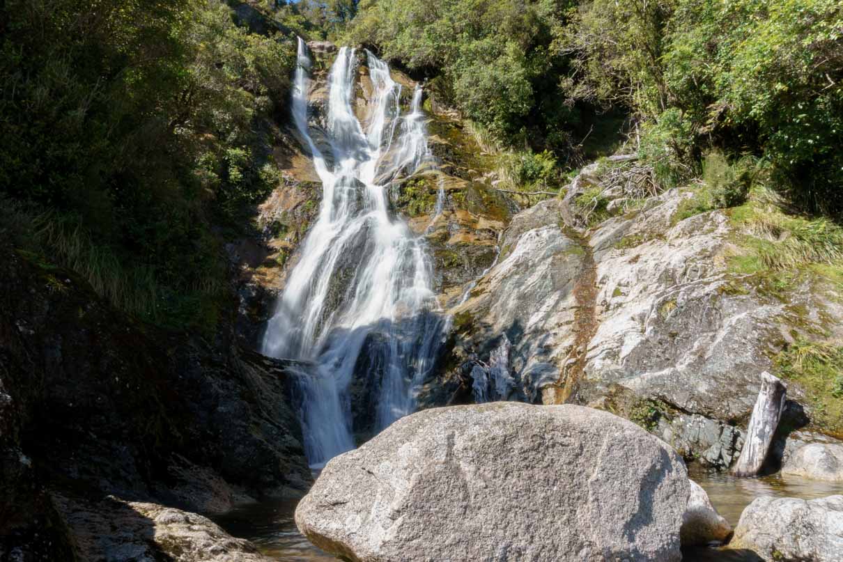
Dog Stream Falls
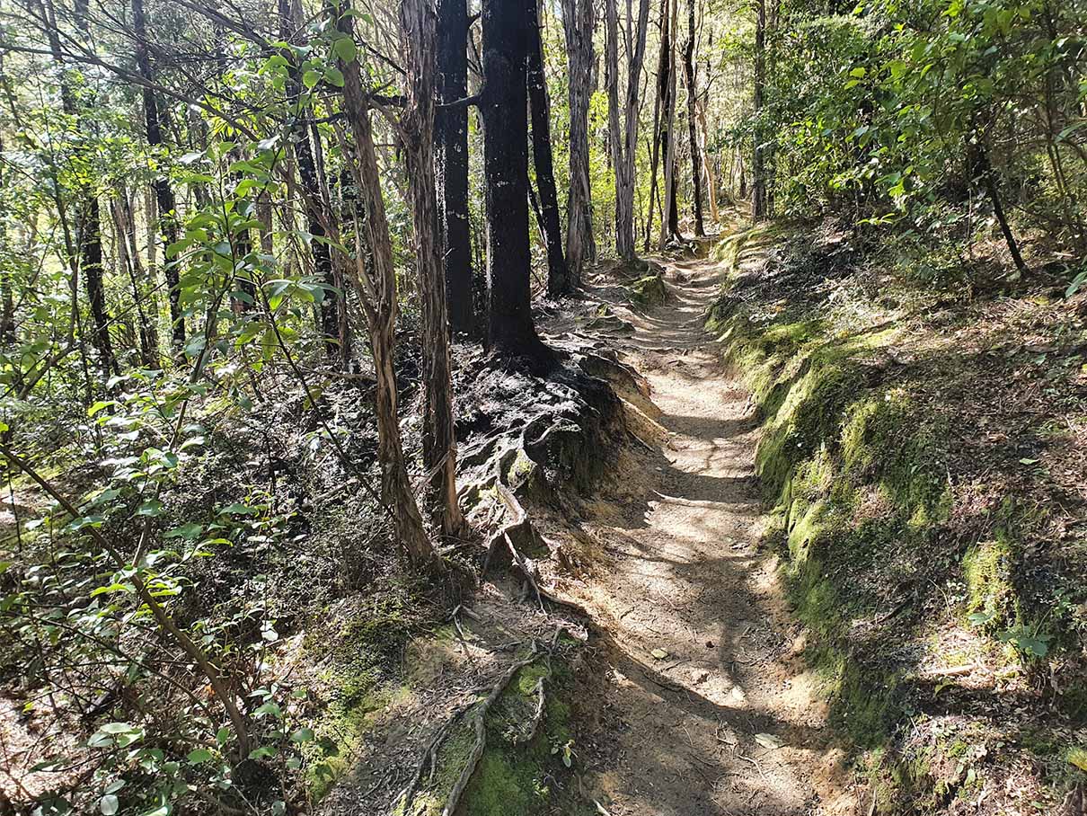
Dog Stream Falls Path

Most of the trail in is compact mud through forest

Dog Stream Falls Path

Some of the trail is an easy rocky scramble

Dog Stream Falls Information

Dog Stream Falls was surprisingly more of a than I expected. This is the only one I did without the kids but there were families with their 6-12 year olds on the trail (with the older ones the most vocal about the inclines!).

The carpark for Dog Stream Falls is a short drive from Hanmer Springs. The DOC sign at the trailhead puts the waterfall at 1 hr 30 min / 2.1 km one way from the car park, so around 3 hours there and back, but on my own it took me 1 hr 20 min of moving time. There are a few steep bits and steps, but really the walk is well within the reach of most people so long as they give themselves plenty of time.

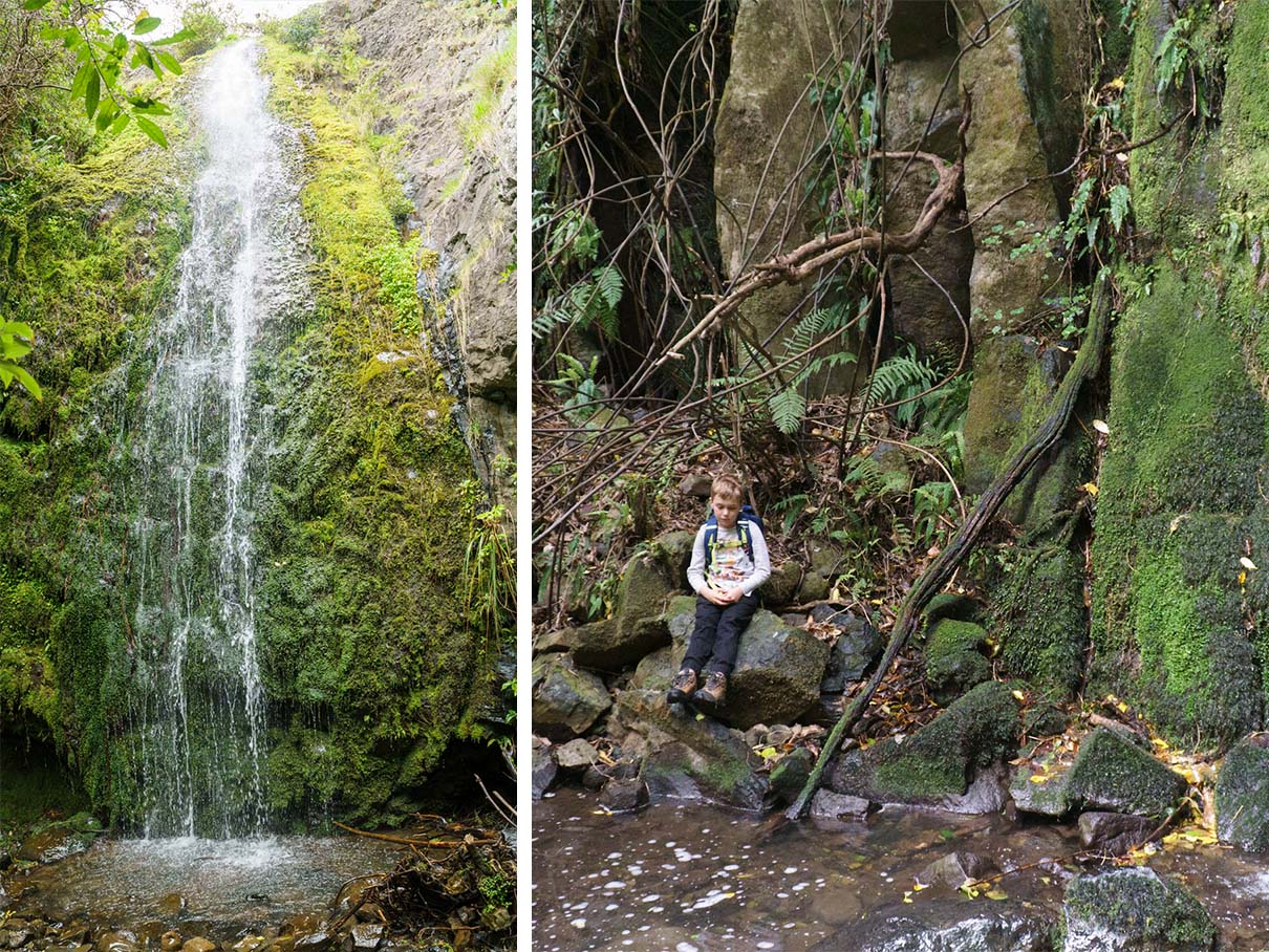
The waterfall itself is of the tall and thin variety and is likely to be described as a ribbon or punchbowl falls. It’s difficult to represent well in a photograph, with rich green moss and the waterfall’s spray creating light patterns in sunlight filtering through the trees. It’s a nice place to stop for a while.

Ryde Falls, Oxford, Canterbury

Ryde Falls Waterfall
Ryde Falls Path

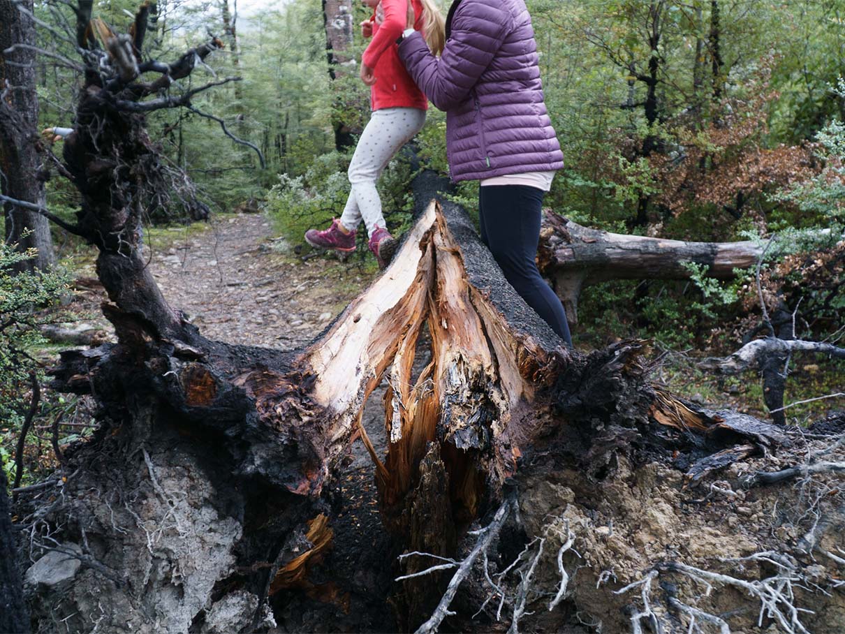
The path to Ryde Falls can have its fair share of downed trees …

Ryde Falls Muddy Path

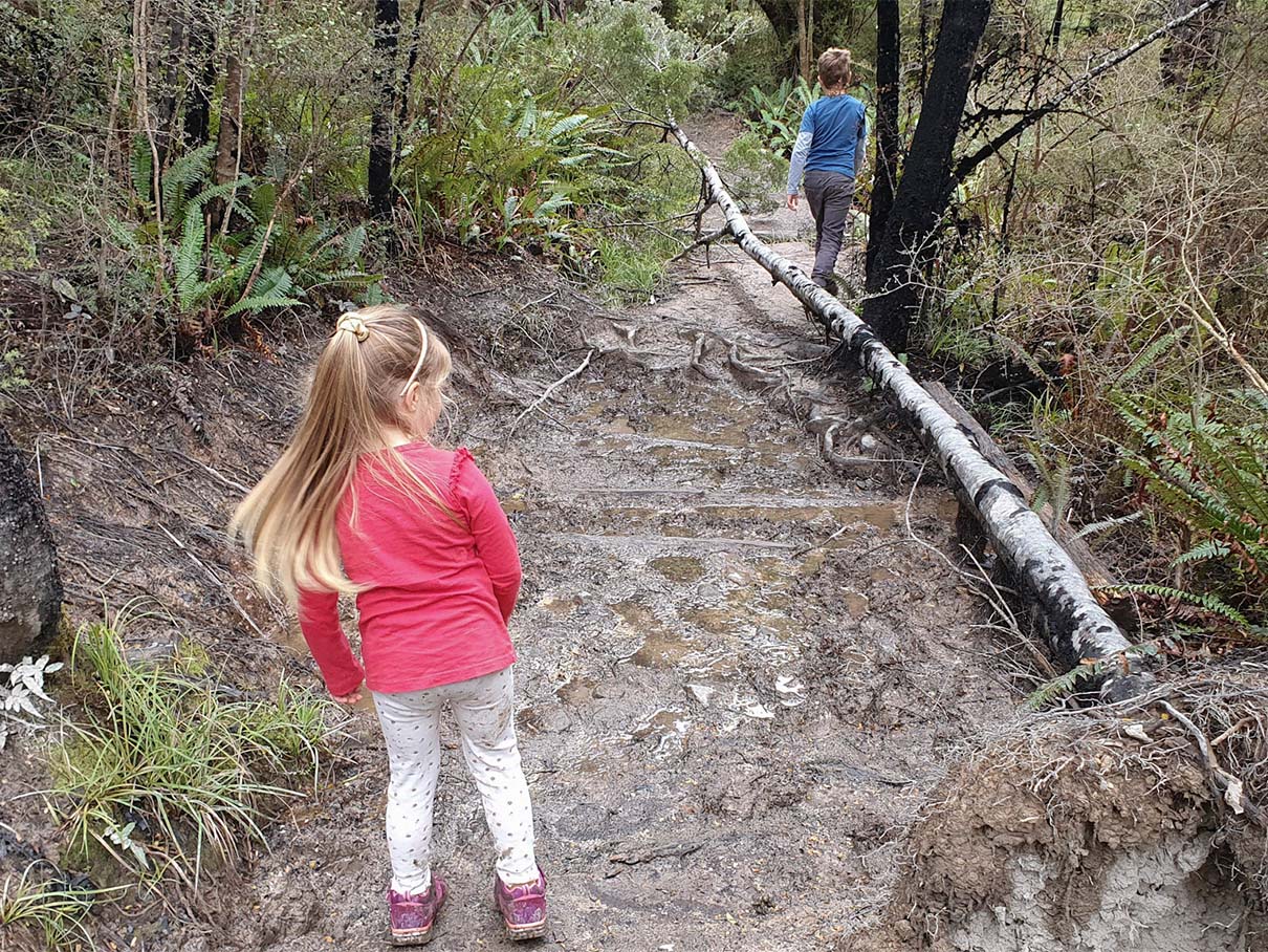
… and plenty of mud!

Ryde Falls Information

Looking for more of a loop track walk? Ryde Falls ticks this box and the tiered waterfall itself is a rewarding visit. Parking at View Hill Carpark near Oxford in Canterbury, the loop can take 2-3 hours, starting with deceiving downhill that, of course, leads to quite a similar amount of uphill back to the car again. The trail itself can be very muddy so wear appropriate footwear.

A rocky river crossing takes you to a sign for a campsite and long drop toilet before a short walk to the waterfall itself. Sandflies can be relentless in this area so take plenty of repellent.

Gorge Stream Falls, Loburn, Canterbury

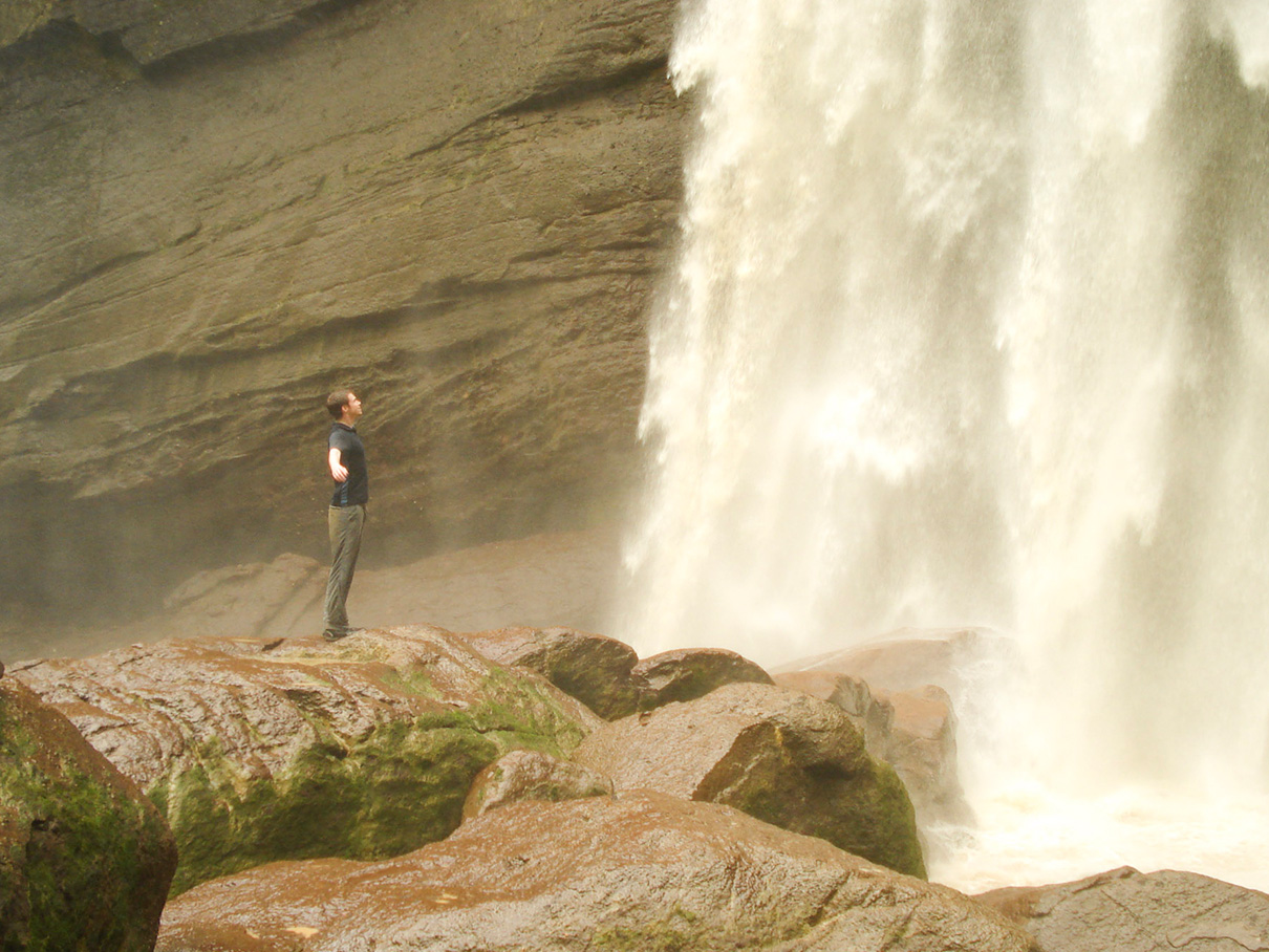
Family at a waterfall in New Zealand's South Island
Icicles at the caves on the Washpen Falls walk

Icicles at the caves on the Washpen Falls walk

An arrow and point of interest sign on the Washpen Falls walk

Pick up a free guide at the beginning to view points of interest on the walk

Gorge Stream Falls Information

A pleasant half-day walk through forest along the river, with some steep sections that can give you a workout. There are two or three sections that have been affected by slips. Enough people have been through them to flatten down a path, but they’re still pretty precarious and there are other areas that look like they’ll see more slips in the near future.

The walk is through forest so quite shaded. It’s not one for stunning views other than the river itself. The hut area also has a couple of flat areas that would be good for tents, but be prepared to cross the stream if you need to use the toilet in the middle of the night!

Parking is at roughly -43.140965,172.387226. Set your GPS for Taaffes Glen Road. This passes through a farm – there may be a closed gate next to a warning sign about CCTV cameras – just pass through and leave the gate as you found it. Taaffes Glen Rd becomes Pinch Gut Track which you drove along until you see the green DOC sign at the river. You’ll drive through a couple of fords, the second of which had car underbody parts in it from its last victim!

  • Out-and-back to the hut, or stop halfway at the waterfall
  • Steep in sections with some slips
  • Park here, Google Maps

Gully Falls, Orton Bradley Park, Diamond Harbour, Canterbury

Gully Falls at Orton Bradley Park
Family Walk at Orton Bradley Park

Family walk at Orton Bradley Park

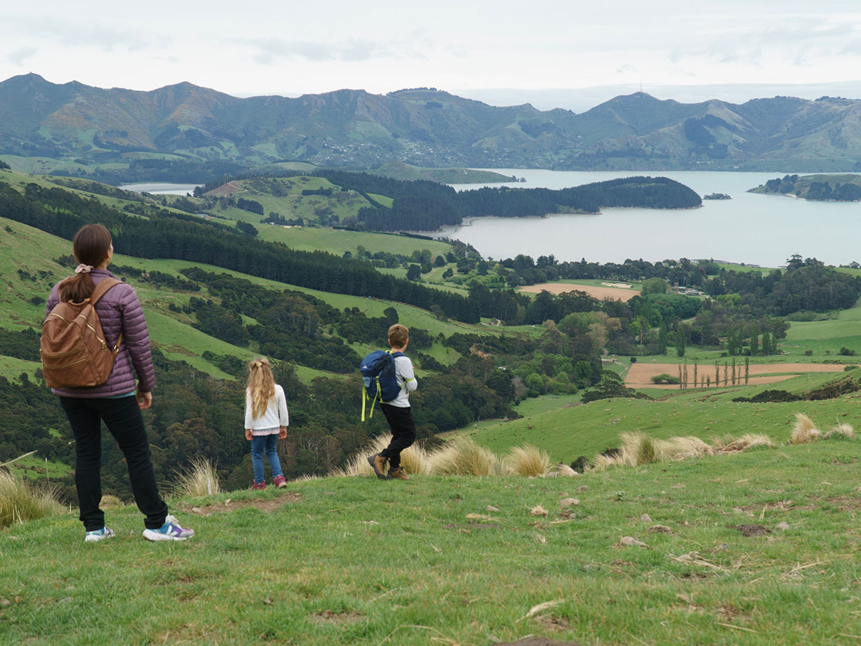
View from the top of the waterfall loop walk at Orton Bradley Park

View from the top of the waterfall loop walk at Orton Bradley Park

Gully Falls Information

I’m slightly reluctant to include this waterfall on this list as it’s not one of the more impressive ones, and when we did the loop walk in October 2022, the trail was overgrown, not well marked, and with detours in place for some of the damaged bridges. Still, the drive to get there and the park itself – not to mention the excellent cafe amongst historic buildings – makes the overall trip a quality one.

The waterfall is actually broken into two sections. Some people may visit the first and head back to the car, but – if you do manage to find the trail – the second waterfall is the more appealing of the two. Both are short horsetail falls.

A GPS very much helps on this one. There are some signs and trail markers but they can be missing at key sections. The trail can be steep in places and is overgrown and poorly formed at times.

Good park, cafe, and toilets at the beginning. There’s a cost to enter the park which must be paid before arriving at the trail head.

Coal Creek Falls, Greymouth, West Coast

Coal Creek Falls Waterfall
Coal Creek Falls Path

The path to the waterfall is as easy as it is interesting, with well established forest and plantlife.

Approach to Coal Creek Waterfall

Just before the waterfall you’ll find a bench before a staircase down to the falls. The area in front of the falls makes for great exploring.

Coal Creek Falls Information

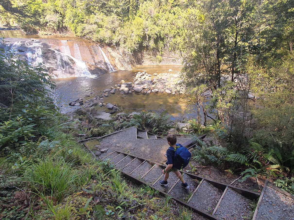
Of all the falls on this page, Coal Creek Falls just north of Greymouth on the West Coast has perhaps the nicest walk-in for families and the largest safe area for exploring at the falls itself.

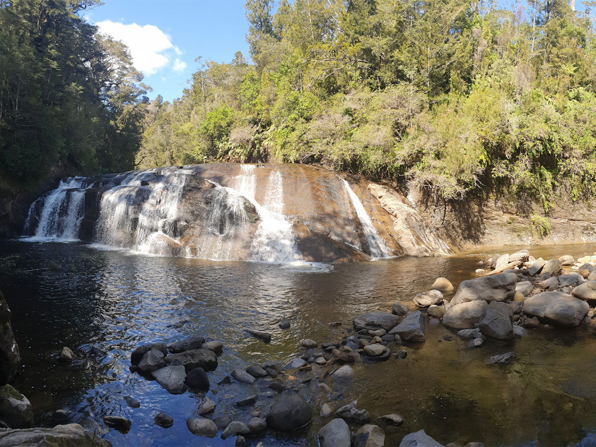
The walk is undulating through the West Coast’s interesting forest, following a narrow river to the waterfall itself. On arriving at the falls, you’re rewarded with a vista that falls away in front of you, with the waterfall framed through trees in the centre. This is also the site of a bench before wooden steps down to the base of the falls.

This waterfall is a wider and shorter ‘block’ waterfall (also called classic or horseshoe) and has a large shallow river in front of it with a rocky centre, allowing lots of exploring for the kids. This is easily where we spent the most time.

Carew Falls, Lake Brunner, West Coast

Carew Falls Waterfall Walk in New Zealand
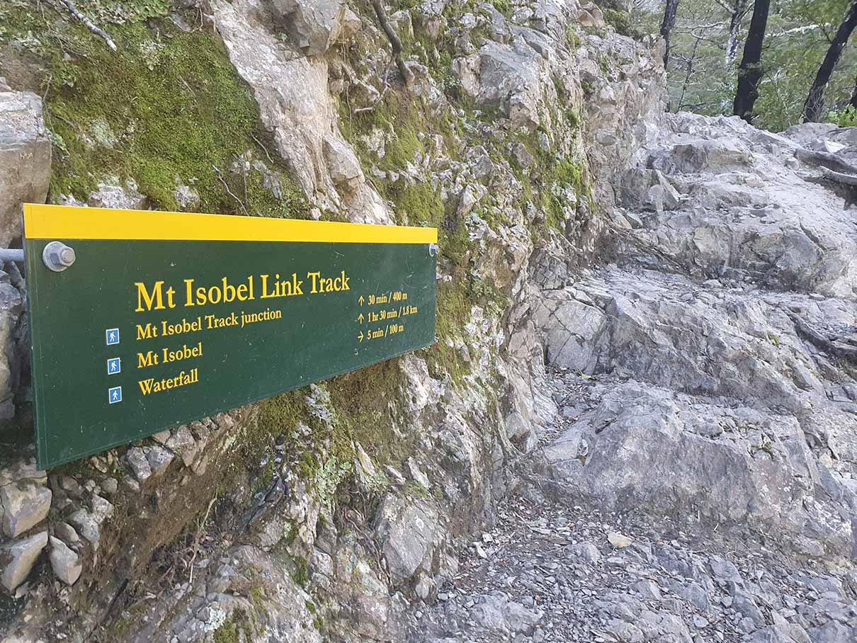
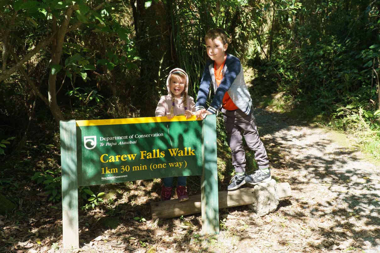
DOC Sign at the Start of Carew Falls Waterfall Walk

DOC sign at the start of Carew Falls Waterfall Walk

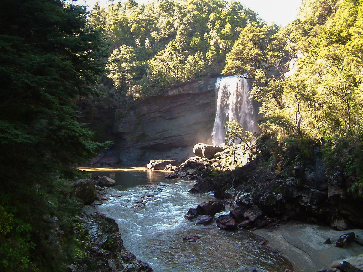
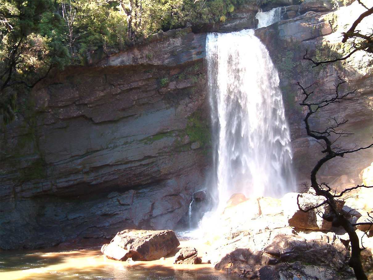
Carew Falls Waterfall

Pick up a free guide at the beginning to view points of interest on the walk

Carew Falls Information

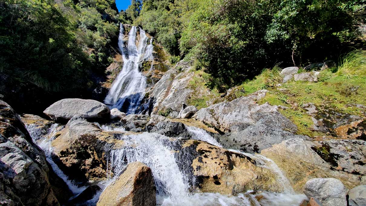
Carew Creek Falls can come across as a bit more remote than you might like for a short walk, but once you add the local cafe – with its excellent hosts – and a short boardwalk along the lake, the detour off the road from Lake Brunner to Christchurch is well worth doing. Also given that this is one of the more stunning waterfalls on this list.

Carew Falls is just a 30-minute walk from the carpark. It’s more of an uphill walk than some others on this list, but nothing major and the waterfall is well worth it. The path hits this waterfall partway up it, opening onto large boulders. There are some good drops and slippy areas, so this is a harder one to spend time at with young children as you’ll constantly be watching them.

After you’ve visited the falls, do travel the short distance further along the road to a stunning cafe/lodge with outdoor seating and views of the lake. Opposite this is also a short boardwalk along Lake Brunner’s edge.

Mangatini Falls, West Coast

Mangatini Falls from Charming Creek Walkway
Mangatini Falls
Mangatini Falls

Mangatini Falls Information

Mangatini Falls is a beautiful waterfall accessed from the Charming Creek Walkway just north of Westport on the South Island’s West Coast.

It’s been a long time since I did this walk, so here’s the info from the AlTrails write-up instead:

“This track takes you from the small West Coast town of Hector to Watson’s Mill via the Charming Creek Walkway. It’s a lovely walk along the old railbed, through the valley of Ngakawau River, past two waterfalls, suspension bridge to historic Watson’s Mill, with mine artifacts along the way. A carpark is located at the trailhead.”

Note: Unfortunately it looks like the easy (south) route in may be blocked due to a large slip. The DOC website has more info. You can use the north walkway instead but note that it’s 5.5 km / 2 hr one way.

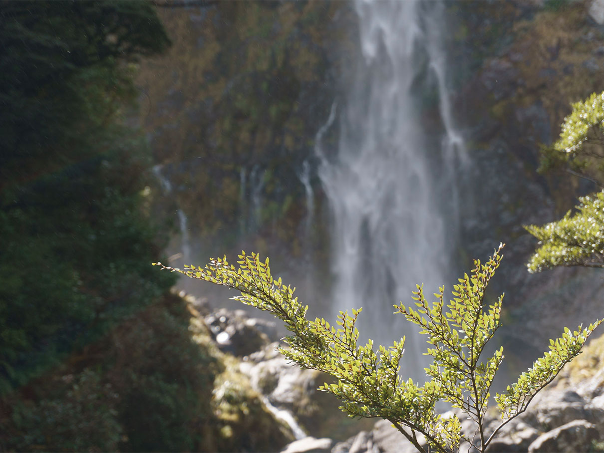
Devil’s Punchbowl Waterfall, Arthur’s Pass Village, Arthur’s Pass

Devils Punchbowl Watefall
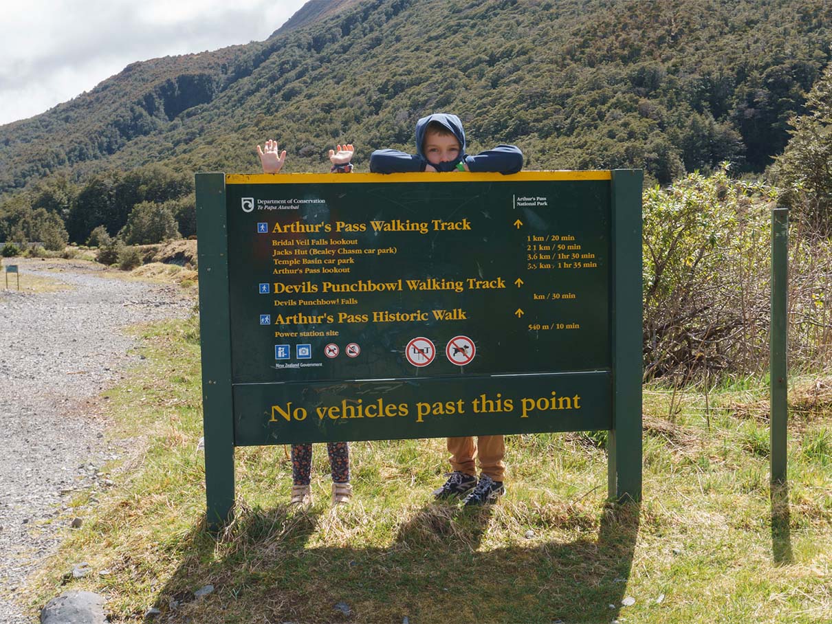
Devils Punchbowl DOC Info Sign

DOC info sign for the Devils Punchbowl walk.

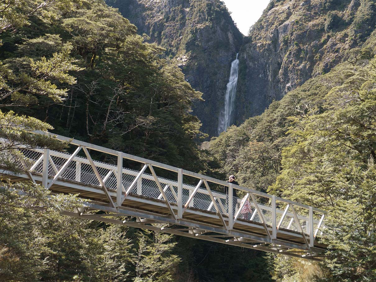
Foot bridge on the Devils Punchbowl walk.

Devil’s Punchbowl Waterfall Information

One of the more famous waterfalls on this list, Devil’s Punchbowl waterfall is – of course – a punchbowl waterfall. As it’s a popular tourist spot, the path is well marked and maintained and, after plenty of steps, ends at a viewing platform with warning signs not to continue to the base of the falls itself. This differs from a few years back where you could walk a lot closer to the base of the waterfall.

Just after leaving the carpark, you’ll be able to see the waterfall amongst the trees. The trail crosses two bridges and is reasonably steep with plenty of wooden steps at times.

Arthur’s Pass Village has a couple of nice cafes that are worth a visit.

Similar Posts

Picture Takashima Jacket Review

Review of the Picture Takashima Jacket

Considering a light-to-midweight insulated jacket for mild-to-cold weather hiking? Read my review of the Picture Takashima first.
Garmin 66i GPS Device

Why I chose a Garmin 66i inReach GPS device

/
I wanted an SOS device to give me two-way communication while out hiking in New Zealand. This is why I chose a Garmin 66i inReach GPS device.
Garmin 66i GSP device showing NZ Topo 50 maps

How to add NZ topo maps to a Garmin GPS device (for free)

/
If you have a Garmin GPS device in New Zealand, then check out this method to download and install free NZ Topo 50 maps to your device.
Peak Design Capture Clip v3 Backpack Clip

Peak Design Capture Clip v3 Review

/
If you're looking for a camera clip for a backpack or belt, don't look past the best of the bunch; the Peak Design Capture Clip v3.
Macpac Rain Cover Sizes

Macpac Waterproof Pack Cover Sizing

/
I ended up with three Macpac waterproof pack raincovers thanks to sizing which didn't quite fit my expectations, so I've put them all to the test here.

Identify Peaks with the PeakFinder App

Looking for an app to help you identify peaks while out hiking and climbing? The PeakFinder app uses AR to great effect. Watch the video.
The Stanley Shortstack Adventure Travel Mug 8oz

Review of the Stanley Adventure Shortstack Travel Mug 8oz

/
With the demise of my glass Keep Cup 8oz, the time came to find a new travel mug. Suitable for both medium and large coffees, easy to wash, classy for the office and suitable for hiking, I was pleased to find the Stanley Adventure Shortstack Travel Mug ticked all boxes.
A route in the Footpath app

3 Mapping & Route Planning Apps for Hikers

/
Three of the best mapping and route planning apps for hikers. Apps that allow you to export a route to a GPS device.
Kathmandu Kids Kite v2 Size

Kathmandu Kids Kite V2 Review

/
I reviewed the Kathmandu Kids Kite v2 because I couldn't find any photos or info it on the web. So check out mine here before you buy.
0 replies

Leave a Reply

Want to join the discussion?
Feel free to contribute!

Leave a Reply