
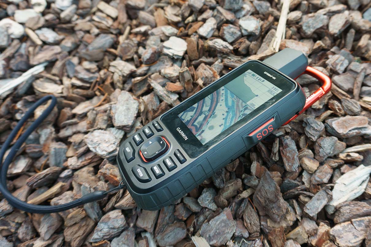
Why I chose a Garmin 66i inReach GPS device
Let me pre-face this by saying I’m comfortable with technology and already own a Garmin Instinct Solar GPS watch.
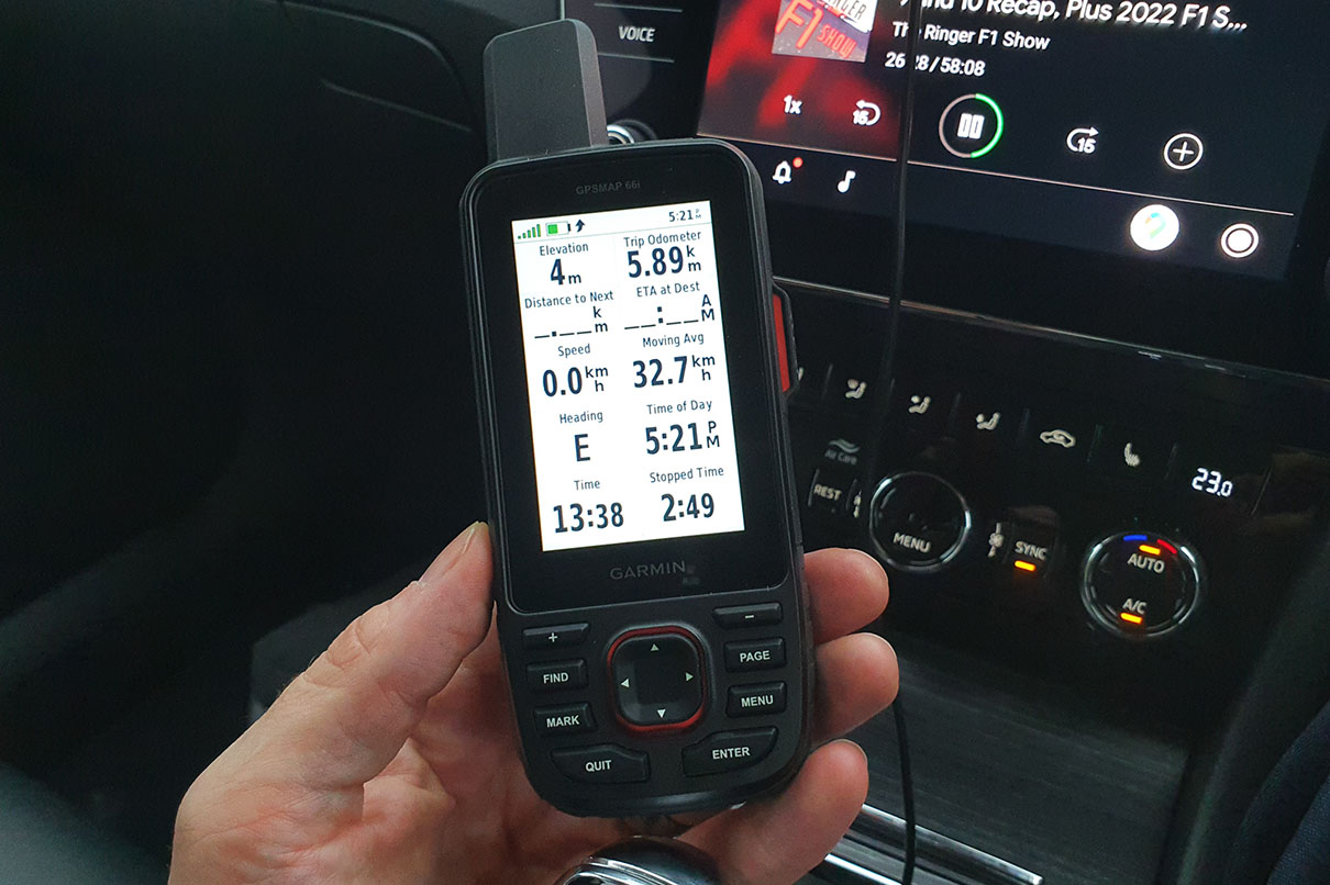
I’ve long used my watch in conjunction with my cell phone to provide me with a little reassurance when it comes to hiking in New Zealand. Loading a route onto my watch lets me know not just whether I’m on the right track, but – more usefully to me given I’m mostly on well marked routes anyway – it also tells me how far I have to go, letting me know what time I’ll be back at the car at my current pace.
Meanwhile, my phone is on hand to give me all the maps I need, so long as my battery doesn’t run out.
But, while I’m pretty well informed on my walks, there are three important gaps in this setup.
One is battery life for my phone; even in flight mode my phone can’t be trusted to last more than 7 or 8 hours, especially when Bluetoothed to my watch and while it’s constantly trying to hold on to GPS info. I have a powerbank but that’s an emergency backup that I don’t want to have to use frequently.
The second is ruggedness and defence against the weather in that my phone’s rendered pretty unusable if it gets water on the screen. Covers help but then I can’t use the phone anyway.
And the third and most important gap is emergency communication. It’s very common to have no phone signal in the New Zealand wilderness, even just half an hour’s drive into the hills (I mean, even sometimes at my house just half an hour from Christchurch!).
I mostly hike solo, closely seconded by walking with my 7 year old, so I like my wife to be able to check to see where I am and know that we have a way to contact each other in an emergency. That goes both ways – if she has an emergency at home I’d like to know about it. Garmin has a Live Track function through my watch, but it only works when my phone has internet. Once when the signal disappeared, it returned only to show my wife that I’d apparently taken a straight line “walk” off a cliff. She was a little nervous until the signal picked up again later on.
Don’t get me wrong – I love being disconnected from the world as much as the next guy, but for me there’s a line that can cross into selfishness for someone who has a wife and children. I also know that my wife wouldn’t abuse the technology – she’s not one to text me frequently when I’m out and about, and I never give her a reason to be worried about where I am for any reason other than my own safety!
So all of this brings me to my decision to buy a Garmin 66i GPS SOS device. But first…

Shouldn’t I just buy a Personal Locator Beacon?
The safest and most responsible answer to this is yes. Personal Locator Beacons (PLB) have direct access to New Zealand’s safety network and are the single best possible way to get help to you in an emergency.
That being said, they are also available to hire in the event that you’re heading into the outdoors and feel you may need one.
Given this, and knowing that I wanted a device that I would take on basically every hike, no matter the length and distance to civilisation, could use for two-way communication, and could provide me with extra mapping functionality, I decided to buy a Garmin device to use all the time, and hire a PLB to use on the more adventurous trips.
Why doesn’t a Garmin inReach device replace the need for a PLB?
Garmin’s inReach SOS service uses the global Iridium® satellite network to contact a private response company operating 24/7 in the US. That company determines where you are and then contacts the relevant search and rescue authority for your country.
In the case of devices that have two-way messaging, they’ll also respond to ask for more information on the situation, plus they’ll contact your pre-defined emergency contacts to give them an update.
This is very useful and can – and has – help in an emergency, but it will never be as efficient as a PLB designed for the New Zealand market.
Also note that Garmin’s inReach services are subscription based so come at a cost, and the SOS function requires that your subscription is active.
A very knowledgeable and friendly member of the Tramping in New Zealand Facebook Group said,
“A SEND (a device with two-way comms) isn’t a beacon, and therefore not a safety device. Specifically, the satellite network these operate on isn’t gazetted as a safety net (where as beacons ‘talk’ to high orbit COSPAS-SARSAT satellites which are) and SENDs like this also don’t have to meet any kind of standards or regulations. They’re great for two way communicating in the back country, but shouldn’t be relied on in an emergency.”
Update: The group member, Kate Weinberg, has now informed me that rather than a random on Facebook, she actually works for the Rescue Coordination Centre (that triages all the beacon and SEND initiations in NZ) and is currently helping the SAR secretariat put together the policy for how they get used! She adds:
“the next generation of beacons will have a receive function too, like, an indicator on the unit that tells you the signal has bounced off a satellite, at the moment they’re all ‘dumb’ and sometimes people think they’re malfunctioning as a result… especially because a rescue can take a bit of time, especially if weather is inclement and a helo can’t get to them.”
Thank you Kate!
When a PLB is activated, Beacons.org.nz say that the beacon will send a signal to a Cospas-Sarsat 406 MHz satellite within the international search and rescue satellite system, which then notifies the nearest ground station. The distress call is then relayed through a Local User Terminal and then Mission Control Centre (MCC) to the region’s Rescue Coordination Centre (RCC), which then arranges a search and rescue operation.
The Mountain Safety Council add that PLBs emit a UHF radio signal when activated. Search and Rescue operations use the signal to ‘find’ the beacons.
Some PLBs also set off a strobe when activated, further helping rescue parties to home in on your location.
What can a Garmin inReach device offer in an emergency?
While not replacing a PLB, a Garmin inReach can offer excellent added value when it comes to emergency communications.
This is thanks to their ability to provide two-way communication in areas where phone signals aren’t available. A popular New Zealand hiker found this function very helpful earlier this year, as reported in Wilderness magazine.
A hiker had become ill and – while they were carrying a PLB – they didn’t feel like it was an emergency situation so hadn’t used it. The hiker’s partner left them in a hut and walked for over an hour to find help, knowing that there was a hiker on the walk with a Garmin device. On meeting, the hiker with the Garmin device decided to trigger their own SOS function and, following a two-way communication with the operator, it was determined that a rescue was the best course of action and so a helicopter was called out. Thanks to the two-way communication, the hut’s location could be given as the location needing assistance, rather than the point an hour’s walk away where the device was in use.
Similarly, when the situation may not need emergency rescue but input from back home can be of value, a Garmin inReach can open a conversation with your partner back home rather than escalating right up to calling out a rescue helicopter. An example of this may be on seeing a fire in the outdoors in an area with no phone signal. Setting off a PLB would send rescue services to your location, but communicating a message to your partner that there’s a fire could allow for a more efficient and relevant response.
Finally, it’s always recommended to take the first step of ‘self rescue’ when possible. Knowing exactly where you are on a map, where the track is, what huts might be around, how far away the car park is, and even being able to communicate with someone back home all go a good way towards helping you to help yourself before all-out rescue is required.
Again, a disclaimer that I will never say a PLB is not required! I’m all about redundancy – having more than one method of emergency communication in case one fails is always a bonus. And no, you can’t count a mobile phone as one of those methods of emergency communication if you’re out in the bush.
Disclaimer
I’m not a professional hiker, I’m a professional marketing guy. When making decisions about your safety in the outdoors, don’t listen to some stranger on the internet. Always seek professional advice. Before heading into the outdoors, check the weather, be prepared, and leave your intentions with a responsible friend and/or organisation. DOC, the Mountain Safety Council, and Plan My Walk offer some good resources to get you started.
Similar Posts
 https://nzraw.co.nz/wp-content/uploads/2023/06/picture-takashima-jacket-review-new-zealand.jpg
908
1210
Mark
https://nzraw.co.nz/wp-content/uploads/2020/06/nz-raw-logo.png
Mark2023-06-30 08:57:142023-06-30 08:57:14Review of the Picture Takashima Jacket
https://nzraw.co.nz/wp-content/uploads/2023/06/picture-takashima-jacket-review-new-zealand.jpg
908
1210
Mark
https://nzraw.co.nz/wp-content/uploads/2020/06/nz-raw-logo.png
Mark2023-06-30 08:57:142023-06-30 08:57:14Review of the Picture Takashima Jacket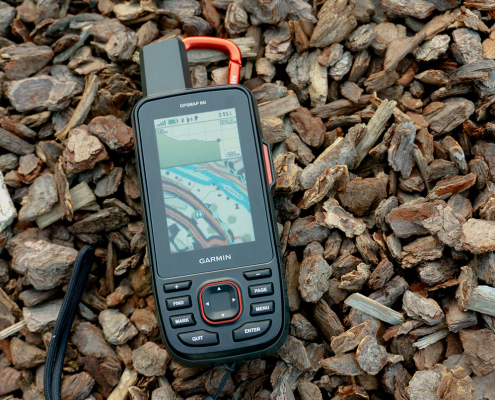 https://nzraw.co.nz/wp-content/uploads/2022/04/garmin-66i-gps-showing-map.jpg
806
1210
Mark
https://nzraw.co.nz/wp-content/uploads/2020/06/nz-raw-logo.png
Mark2022-04-23 16:15:202023-06-28 13:41:39Why I chose a Garmin 66i inReach GPS device
https://nzraw.co.nz/wp-content/uploads/2022/04/garmin-66i-gps-showing-map.jpg
806
1210
Mark
https://nzraw.co.nz/wp-content/uploads/2020/06/nz-raw-logo.png
Mark2022-04-23 16:15:202023-06-28 13:41:39Why I chose a Garmin 66i inReach GPS device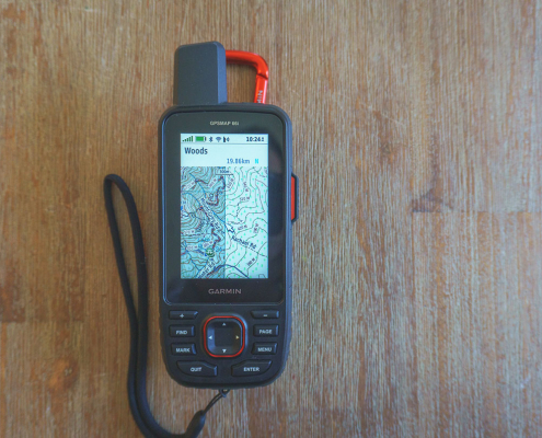 https://nzraw.co.nz/wp-content/uploads/2022/04/garmin-66i-showing-new-zealand-topo-50-maps-1.jpg
806
1210
Mark
https://nzraw.co.nz/wp-content/uploads/2020/06/nz-raw-logo.png
Mark2022-04-09 12:12:282022-04-23 16:08:42How to add NZ topo maps to a Garmin GPS device (for free)
https://nzraw.co.nz/wp-content/uploads/2022/04/garmin-66i-showing-new-zealand-topo-50-maps-1.jpg
806
1210
Mark
https://nzraw.co.nz/wp-content/uploads/2020/06/nz-raw-logo.png
Mark2022-04-09 12:12:282022-04-23 16:08:42How to add NZ topo maps to a Garmin GPS device (for free) https://nzraw.co.nz/wp-content/uploads/2022/01/review-peak-design-capture-clip-v3.jpg
908
1210
Mark
https://nzraw.co.nz/wp-content/uploads/2020/06/nz-raw-logo.png
Mark2022-01-08 16:08:332022-04-09 08:37:28Peak Design Capture Clip v3 Review
https://nzraw.co.nz/wp-content/uploads/2022/01/review-peak-design-capture-clip-v3.jpg
908
1210
Mark
https://nzraw.co.nz/wp-content/uploads/2020/06/nz-raw-logo.png
Mark2022-01-08 16:08:332022-04-09 08:37:28Peak Design Capture Clip v3 Review https://nzraw.co.nz/wp-content/uploads/2021/11/macpac-rain-covers-on-packs.jpg
1067
1600
Mark
https://nzraw.co.nz/wp-content/uploads/2020/06/nz-raw-logo.png
Mark2021-11-13 18:07:322022-04-09 08:37:40Macpac Waterproof Pack Cover Sizing
https://nzraw.co.nz/wp-content/uploads/2021/11/macpac-rain-covers-on-packs.jpg
1067
1600
Mark
https://nzraw.co.nz/wp-content/uploads/2020/06/nz-raw-logo.png
Mark2021-11-13 18:07:322022-04-09 08:37:40Macpac Waterproof Pack Cover Sizing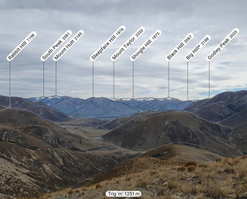 https://nzraw.co.nz/wp-content/uploads/2021/10/app-for-identifying-peaks.jpg
908
1210
Mark
https://nzraw.co.nz/wp-content/uploads/2020/06/nz-raw-logo.png
Mark2021-10-24 09:24:542022-04-09 08:37:53Identify Peaks with the PeakFinder App
https://nzraw.co.nz/wp-content/uploads/2021/10/app-for-identifying-peaks.jpg
908
1210
Mark
https://nzraw.co.nz/wp-content/uploads/2020/06/nz-raw-logo.png
Mark2021-10-24 09:24:542022-04-09 08:37:53Identify Peaks with the PeakFinder App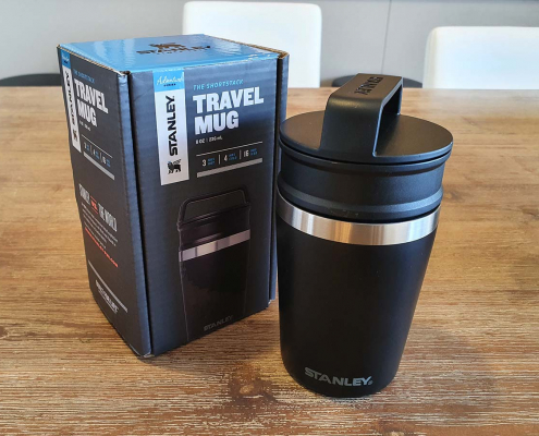 https://nzraw.co.nz/wp-content/uploads/2021/06/stanley-shortstack-adventure-travel-mug-and-box.jpg
908
1210
Mark
https://nzraw.co.nz/wp-content/uploads/2020/06/nz-raw-logo.png
Mark2021-06-27 17:36:282022-04-09 08:38:03Review of the Stanley Adventure Shortstack Travel Mug 8oz
https://nzraw.co.nz/wp-content/uploads/2021/06/stanley-shortstack-adventure-travel-mug-and-box.jpg
908
1210
Mark
https://nzraw.co.nz/wp-content/uploads/2020/06/nz-raw-logo.png
Mark2021-06-27 17:36:282022-04-09 08:38:03Review of the Stanley Adventure Shortstack Travel Mug 8oz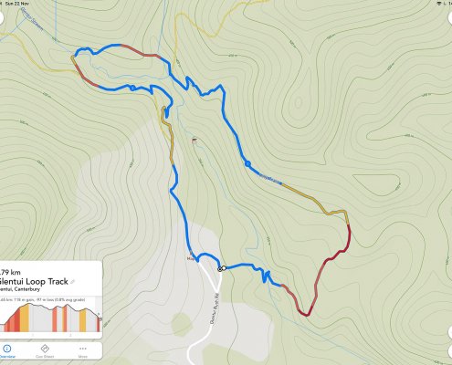 https://nzraw.co.nz/wp-content/uploads/2020/11/a-route-in-footpath-app.jpg
1199
1600
Mark
https://nzraw.co.nz/wp-content/uploads/2020/06/nz-raw-logo.png
Mark2020-11-23 10:56:252022-04-09 08:38:213 Mapping & Route Planning Apps for Hikers
https://nzraw.co.nz/wp-content/uploads/2020/11/a-route-in-footpath-app.jpg
1199
1600
Mark
https://nzraw.co.nz/wp-content/uploads/2020/06/nz-raw-logo.png
Mark2020-11-23 10:56:252022-04-09 08:38:213 Mapping & Route Planning Apps for Hikers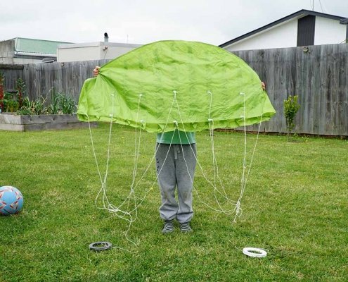 https://nzraw.co.nz/wp-content/uploads/2020/10/kathmandu-kids-kite-v2-size.jpg
729
1200
Mark
https://nzraw.co.nz/wp-content/uploads/2020/06/nz-raw-logo.png
Mark2020-10-26 14:28:412022-04-09 08:38:27Kathmandu Kids Kite V2 Review
https://nzraw.co.nz/wp-content/uploads/2020/10/kathmandu-kids-kite-v2-size.jpg
729
1200
Mark
https://nzraw.co.nz/wp-content/uploads/2020/06/nz-raw-logo.png
Mark2020-10-26 14:28:412022-04-09 08:38:27Kathmandu Kids Kite V2 Review

Leave a Reply
Want to join the discussion?Feel free to contribute!