Mount Grey via Lake Janet
A 2.5-hour ‘out and back’ that sees you at a fire watch lookout point in 50 minutes, and Mt Grey summit in 90 minutes. At the summit you’ll be treated to 360° views; mountain ranges to one side and the ocean to another.
Promoted as ‘some of the best views in Canterbury’, the DOC website describes the route to Mt Grey’s summit as a 2-3 hour one way walk on the Maukatere Track, combined with a 3-4 hour one way route back along Red Beech Track to form a loop. But, there’s a more direct route that can take you to the summit in 90 minutes, passing by a fire watch tower for a quick break, with a little less driving required.
DOC no longer maintain this more direct route. I found one source that mentioned this was due to a conflict between DOC and a logging company. Either way, the route is still perfectly usable – although a little overgrown in summer – and has some points of interest along the way.
Quick Links


I love this tree. I don’t know what the story is, but I like to think it just had enough of DOC workers nailing an arrow to it.

The only sign near the car park of Lake Janet. No longer maintained and not visible from the road.
Walk Overview
The route starts just off Cramptons Bush Road at Lake Janet with room for five or six cars to park. There’s a short walk around Lake Janet itself, along with a couple of picnic tables and a long-drop toilet. At the North West corner of this lake (pond) loop is an old worn out yellow sign that just about mentions something about a lookout walk on a side trail. Take this and you’ll soon be walking steeply uphill through a pine forest.
After 15 minutes slog this starts to level out as you reach the top of the pine forest treeline and you’ll start to see some impressive views out to the south. A few zig-zags and you’ll find yourself at a fire watch tower where you can have a break while gazing out to the ocean and imaging yourself as a fire warden.
Continue on the trail above this (take the path to the northwest of the tower, not the access road to the east) and you’ll hit another access road for just a few metres before you see three wooden steps. Over the steps and from here, it’s a more gradual climb through a beech tree forest (I think, I’m still trying to learn my treets!) and then you’ll find yourself passing just beneath a radio tower. At this point you’ll arrive on a saddle where you’ll be wowed by views of the Southern Alps before you hit the trig point of Mt Grey summit itself.


Getting There
This is worth noting as Google Maps may tell you to take the more direct, northerly route from Rangiora. However, when I took this route (and after a fair bit of driving down a road that went no where else) I was stopped by a locked gate. The forestry company controls access and had chosen to close the road for an indefinite duration.
The safest bet is to take a route that approaches Lake Janet from the east.
Set ‘Lake Janet, Canterbury‘ as your destination in your chosen maps app, and ensure the route from Christchurch heads north on State Highway 1 before turning onto Broad Road, then Inland Scenic Route 72/Upper Sefton Road, Reserve Road, and finally Cramptons Bush Road.
Points of Interest
At the car park, with parking for around 8 or 9 vehicles, there’s a 5 minute boardwalk around Lake (pond) Janet, with two picnic benches and a longdrop toilet. As you climb out of the forest you’ll hit the fire watch tower; a great place for a break and to admire a 180 degree view facing the ocean.
Further up, you hit the TV/radio antenna station before crossing a saddle to the summit with a trig point, DOC sign, and cairn.

Picnic tables at Lake (Pond) Janet.

The fire watch tower two-thirds of the way to the summit.

Mount Grey Summit Trig Point and Cairn

Looking back towards Rangiora with the TV antenna on another peak.
Suitability
Shortly after leaving the car park you hit a fairly steep uphill section through the forest. It’s not particularly well maintaned any more, and if it’s been raining heavily recently you’ll find a couple of sections to be quite tricky. Higher up as you approach the tops, it can be waist-high overgrown with some hidden steep drops on the narrow path.
Having said that, once those are out of the way it’s pretty straightforward. The steep section stops at the first tree level and gives way to a gradual climb to the fire watch tower and on to the top. The saddle can be quite exposed and care should be taken on a very windy day, but at this point you’re already at the aerial tower and have a similar view to the summit, so you could happily take a break then head back down.
On two occasions I’ve seen mountain bikers on the route. Once higher up on the tower access road and another time actually heading up through the narrow forest trail.
Gear List
The track itself is a mix of narrow forest trail and trail through long grass. Root and rock scrambling is very light, and it’s not likely to get paricularly muddy other than a couple of steep slippy sections neat the beginning. I first did this walk in my leather walking boots, but subsequently switched to trail shoes which have been far more comfortable and perfectly adequate (unless hiking in snow).
I often take a larger backpack than needed when I walk. Not only does this help with training for the bigger walks, but I like to carry a decent first aid kit, warm and wet weather gear, plenty of water, snacks, and my camera gear.
However, on this walk I’ve repeatedly been passed by walkers with very little – or zero – gear at all. An old couple even stopped to laugh at my 33 litre backpack! To be fair, it’s not a very long walk, it’s well travelled, and you’re not really that far from civilisation. There’s also a reasonable phone signal throughout.
Still, that won’t make me leave my backpack behind!
 https://nzraw.co.nz/wp-content/uploads/2024/07/mackintosh-beach-waipara-walks-10.jpg
1067
1600
Mark
https://nzraw.co.nz/wp-content/uploads/2020/06/nz-raw-logo.png
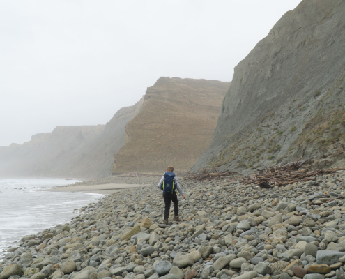
Mark2024-07-21 15:34:162024-07-21 15:54:27MacKintosh Beach Family Walk Near Waipara, North Canterbury
https://nzraw.co.nz/wp-content/uploads/2024/07/mackintosh-beach-waipara-walks-10.jpg
1067
1600
Mark
https://nzraw.co.nz/wp-content/uploads/2020/06/nz-raw-logo.png
Mark2024-07-21 15:34:162024-07-21 15:54:27MacKintosh Beach Family Walk Near Waipara, North Canterbury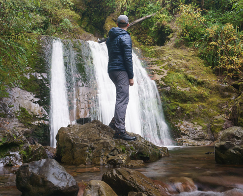 https://nzraw.co.nz/wp-content/uploads/2023/06/picture-takashima-jacket-review-new-zealand.jpg
908
1210
Mark
https://nzraw.co.nz/wp-content/uploads/2020/06/nz-raw-logo.png
Mark2023-06-30 08:57:142023-06-30 08:57:14Review of the Picture Takashima Jacket
https://nzraw.co.nz/wp-content/uploads/2023/06/picture-takashima-jacket-review-new-zealand.jpg
908
1210
Mark
https://nzraw.co.nz/wp-content/uploads/2020/06/nz-raw-logo.png
Mark2023-06-30 08:57:142023-06-30 08:57:14Review of the Picture Takashima Jacket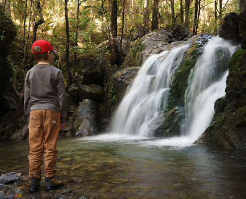 https://nzraw.co.nz/wp-content/uploads/2023/01/waterfalls-nz-800x600-1.jpg
600
800
Mark
https://nzraw.co.nz/wp-content/uploads/2020/06/nz-raw-logo.png
Mark2023-01-06 16:46:302023-01-11 13:30:04Best Family Friendly Waterfalls of Mid-South Island New Zealand
https://nzraw.co.nz/wp-content/uploads/2023/01/waterfalls-nz-800x600-1.jpg
600
800
Mark
https://nzraw.co.nz/wp-content/uploads/2020/06/nz-raw-logo.png
Mark2023-01-06 16:46:302023-01-11 13:30:04Best Family Friendly Waterfalls of Mid-South Island New Zealand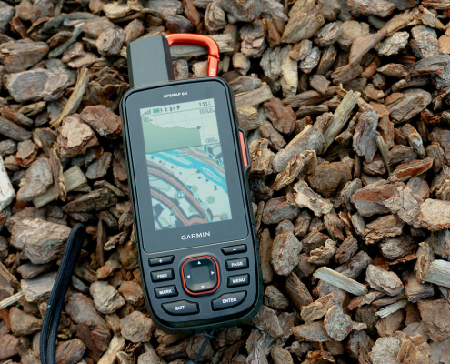 https://nzraw.co.nz/wp-content/uploads/2022/04/garmin-66i-gps-showing-map.jpg
806
1210
Mark
https://nzraw.co.nz/wp-content/uploads/2020/06/nz-raw-logo.png
Mark2022-04-23 16:15:202023-06-28 13:41:39Why I chose a Garmin 66i inReach GPS device
https://nzraw.co.nz/wp-content/uploads/2022/04/garmin-66i-gps-showing-map.jpg
806
1210
Mark
https://nzraw.co.nz/wp-content/uploads/2020/06/nz-raw-logo.png
Mark2022-04-23 16:15:202023-06-28 13:41:39Why I chose a Garmin 66i inReach GPS device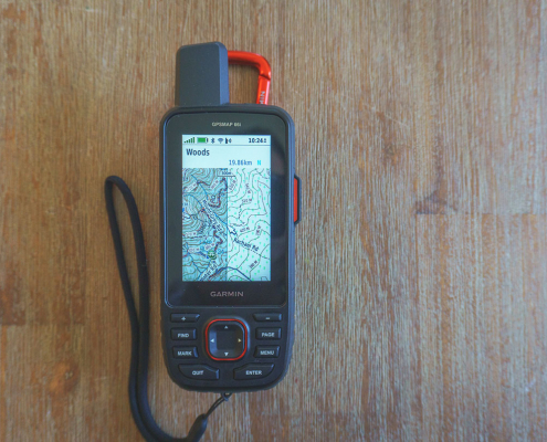 https://nzraw.co.nz/wp-content/uploads/2022/04/garmin-66i-showing-new-zealand-topo-50-maps-1.jpg
806
1210
Mark
https://nzraw.co.nz/wp-content/uploads/2020/06/nz-raw-logo.png
Mark2022-04-09 12:12:282022-04-23 16:08:42How to add NZ topo maps to a Garmin GPS device (for free)
https://nzraw.co.nz/wp-content/uploads/2022/04/garmin-66i-showing-new-zealand-topo-50-maps-1.jpg
806
1210
Mark
https://nzraw.co.nz/wp-content/uploads/2020/06/nz-raw-logo.png
Mark2022-04-09 12:12:282022-04-23 16:08:42How to add NZ topo maps to a Garmin GPS device (for free)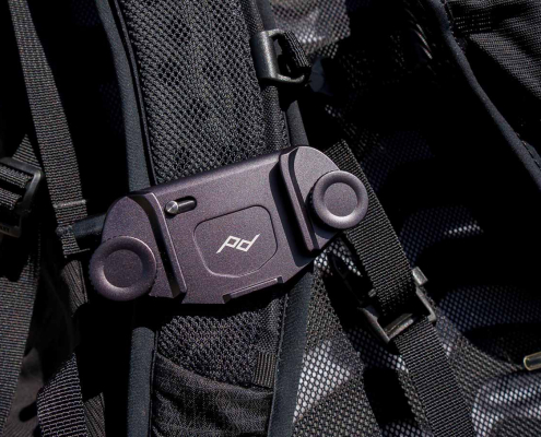 https://nzraw.co.nz/wp-content/uploads/2022/01/review-peak-design-capture-clip-v3.jpg
908
1210
Mark
https://nzraw.co.nz/wp-content/uploads/2020/06/nz-raw-logo.png
Mark2022-01-08 16:08:332022-04-09 08:37:28Peak Design Capture Clip v3 Review
https://nzraw.co.nz/wp-content/uploads/2022/01/review-peak-design-capture-clip-v3.jpg
908
1210
Mark
https://nzraw.co.nz/wp-content/uploads/2020/06/nz-raw-logo.png
Mark2022-01-08 16:08:332022-04-09 08:37:28Peak Design Capture Clip v3 Review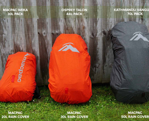 https://nzraw.co.nz/wp-content/uploads/2021/11/macpac-rain-covers-on-packs.jpg
1067
1600
Mark
https://nzraw.co.nz/wp-content/uploads/2020/06/nz-raw-logo.png
Mark2021-11-13 18:07:322022-04-09 08:37:40Macpac Waterproof Pack Cover Sizing
https://nzraw.co.nz/wp-content/uploads/2021/11/macpac-rain-covers-on-packs.jpg
1067
1600
Mark
https://nzraw.co.nz/wp-content/uploads/2020/06/nz-raw-logo.png
Mark2021-11-13 18:07:322022-04-09 08:37:40Macpac Waterproof Pack Cover Sizing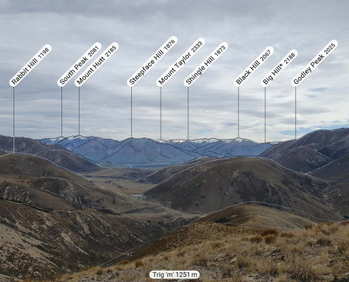 https://nzraw.co.nz/wp-content/uploads/2021/10/app-for-identifying-peaks.jpg
908
1210
Mark
https://nzraw.co.nz/wp-content/uploads/2020/06/nz-raw-logo.png
Mark2021-10-24 09:24:542022-04-09 08:37:53Identify Peaks with the PeakFinder App
https://nzraw.co.nz/wp-content/uploads/2021/10/app-for-identifying-peaks.jpg
908
1210
Mark
https://nzraw.co.nz/wp-content/uploads/2020/06/nz-raw-logo.png
Mark2021-10-24 09:24:542022-04-09 08:37:53Identify Peaks with the PeakFinder App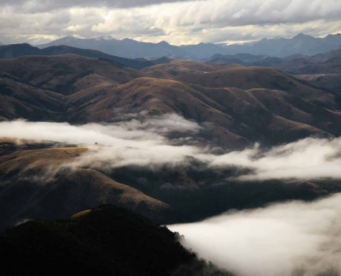 https://nzraw.co.nz/wp-content/uploads/2021/07/mt-thomas-walk-canterbury-08.jpg
900
1600
Mark
https://nzraw.co.nz/wp-content/uploads/2020/06/nz-raw-logo.png
Mark2021-07-18 12:47:582021-07-18 12:50:53Mount Thomas Walk in North Canterbury
https://nzraw.co.nz/wp-content/uploads/2021/07/mt-thomas-walk-canterbury-08.jpg
900
1600
Mark
https://nzraw.co.nz/wp-content/uploads/2020/06/nz-raw-logo.png
Mark2021-07-18 12:47:582021-07-18 12:50:53Mount Thomas Walk in North Canterbury

Leave a Reply
Want to join the discussion?Feel free to contribute!